


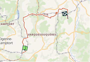

11,3 km | 13,5 km-effort

Utilisateur


Application GPS de randonnée GRATUITE
 SityTrail
IGN / Instituts géographiques
SityTrail World
Le monde est à vous
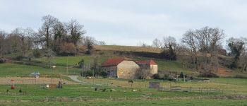
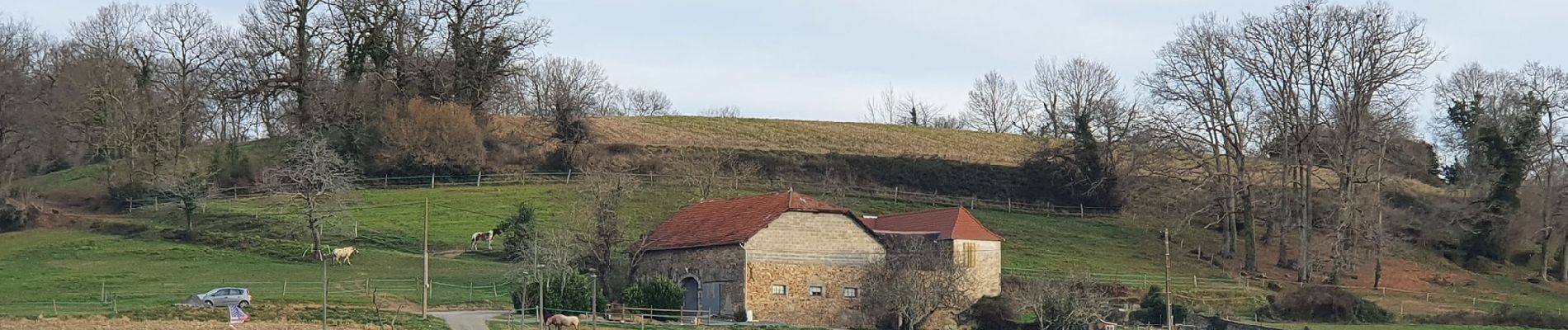
Randonnée Randonnée équestre de 13 km à découvrir à Nouvelle-Aquitaine, Pyrénées-Atlantiques, Lay-Lamidou. Cette randonnée est proposée par Emilie_mth.

Marche

Marche

Randonnée équestre
Randonnée équestre
Marche
Marche