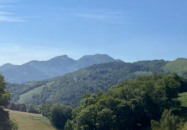
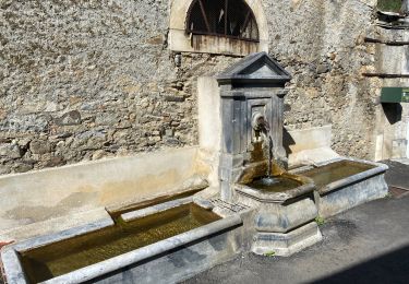
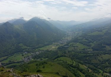
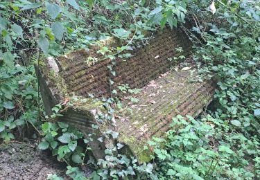
Randonnée Marche Labassère - Labassère, le pic Labassère - G3 - TC - Photo

Labassère, le pic Labassère - G3 - TC

 JACQUESD
JACQUESD

Utilisateur

© OpenStreetMap contributors
Longueur
Longueur
8,3 km
Boucle
Boucle
Oui
Date de création :
2022-12-17 14:13:49.759
Dernière modification :
2022-12-17 14:13:49.759

(0 Avis)

Marche
Marche
3h19
Difficulté : Difficile

Scannez ce code QR pour ouvrir la randonnée dans l'application SityTrail

Application GPS de randonnée GRATUITE

Logo SityTrail SityTrail

IGN / Instituts géographiques

Télécharger SityTrail sur l'App Store Télécharger SityTrail sur Google Play

Logo SityTrail SityTrail World

Le monde est à vous

Télécharger SityTrail sur l'App Store Télécharger SityTrail sur Google Play Télécharger SityTrail sur Huawei AppGallery

À propos

Randonnée Marche de 8,3 km à découvrir à Occitanie, Hautes-Pyrénées, Labassère. Cette randonnée est proposée par JACQUESD.

Profil altimétrique

Points d'intérêt

Point d'intérêt Labassère - WP7 fin de la crête - Photo
JACQUESD
Point d'intérêt Labassère - WP6 pic de Labassère - Photo
JACQUESD
Point d'intérêt Bagnères-de-Bigorre - WP5  montée vers pic - Photo
JACQUESD
BAGNÈRES-DE-BIGORRE 
Point d'intérêt Bagnères-de-Bigorre - WP4 Intersection - Photo
JACQUESD
BAGNÈRES-DE-BIGORRE 
Point d'intérêt Bagnères-de-Bigorre - WP3 traverser La Gailleste - Photo
JACQUESD
BAGNÈRES-DE-BIGORRE 
Point d'intérêt Labassère - WP2 WP9  intersection - Photo
JACQUESD

Localisation

Pays :
France
Région :
Occitanie
Département/Province :
Hautes-Pyrénées
Commune :
Labassère
Localité :
Unknown
Départ:(Dec)
Départ:(UTM)
263535 ; 4771393 (31T) N.

Randonnées à proximité

Randonnée Marche Germs-sur-l'Oussouet - FEU 2015 - Etape 6 - Photo
Marche
Blavis

Marche

Facile
(3)
Germs-sur-l'Oussouet, Occitanie, Hautes-Pyrénées, France
17,3 km | 25 km-effort
5h 6min
Non
Randonnée Marche Bagnères-de-Bigorre - FEU 2015 - Etape 5 - Photo
Marche
Blavis

Marche

Facile
(1)
Bagnères-de-Bigorre, Occitanie, Hautes-Pyrénées, France
18,2 km | 30 km-effort
6h 29min
Non
Randonnée Marche Bagnères-de-Bigorre - Gerde - Photo
Marche
Laigneville159-

Marche

Facile
Bagnères-de-Bigorre, Occitanie, Hautes-Pyrénées, France
9,7 km | 12,2 km-effort
2h 49min
Oui
Randonnée Marche Pouzac - Camp César Pouzac - Photo
Marche
Laigneville159-

Marche

Moyen
Pouzac, Occitanie, Hautes-Pyrénées, France
6,6 km | 9,8 km-effort
1h 46min
Oui
Randonnée V.T.T. Bagnères-de-Bigorre - Randonnée 1 mai haut de Bagneres  - Photo
V.T.T.
fred47

V.T.T.

Très difficile
Bagnères-de-Bigorre, Occitanie, Hautes-Pyrénées, France
28 km | 38 km-effort
3h 18min
Oui
Randonnée Marche Bagnères-de-Bigorre - tour du castelmouly - Photo
Marche
Martinet.Claude

Marche

Facile
(2)
Bagnères-de-Bigorre, Occitanie, Hautes-Pyrénées, France
12,7 km | 20 km-effort
4h 3min
Oui
Randonnée Marche Bagnères-de-Bigorre - Rando Le Monné - Photo
Marche
Fab-Oz

Marche

Moyen
Bagnères-de-Bigorre, Occitanie, Hautes-Pyrénées, France
22 km | 35 km-effort
5h 16min
Oui
Randonnée Marche Bagnères-de-Bigorre - 2023 09 23 CHEMIN du PIÉMONT PYRÉNÉEN - 16ème étape : Bagnères de Bigorre - Lourdes - Photo
Marche
LEGUE

Marche

Moyen
Bagnères-de-Bigorre, Occitanie, Hautes-Pyrénées, France
25 km | 32 km-effort
4h 39min
Non
Randonnée Marche Pouzac - Randonnée autour de Pouzac - Photo
Marche
Denis couderc

Marche

Difficile
Pouzac, Occitanie, Hautes-Pyrénées, France
9,2 km | 13,7 km-effort
2h 51min
Oui


Fermer
Mes abonnements