


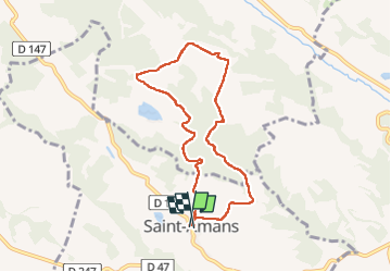

12,6 km | 16,3 km-effort


Utilisateur


Application GPS de randonnée GRATUITE
 SityTrail
IGN / Instituts géographiques
SityTrail World
Le monde est à vous
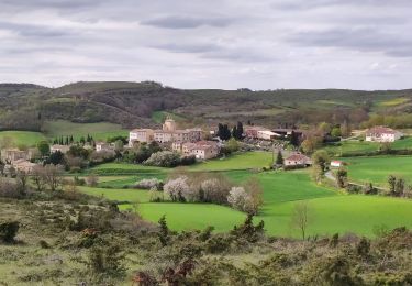
Randonnée Marche de 7,9 km à découvrir à Occitanie, Aude, Saint-Amans. Cette randonnée est proposée par Mamilaure.
Se garer au village descendre la rue du cimetière et prendre le chemin sur la gauche on revient par la piste de droite
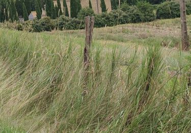
Petite rando agréable passage par de petits sentiers ou chemins dans les bois avec de beaux points de vues facile
Marche
V.T.T.

Marche
Marche
Marche
Marche
Marche