


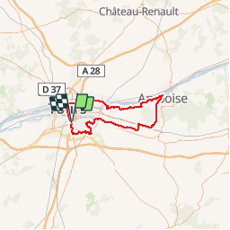

8,2 km | 9,6 km-effort


Utilisateur


Application GPS de randonnée GRATUITE
 SityTrail
IGN / Instituts géographiques
SityTrail World
Le monde est à vous
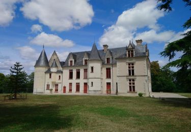
Randonnée Vélo de 73 km à découvrir à Centre-Val de Loire, Indre-et-Loire, Tours. Cette randonnée est proposée par danaubrac.
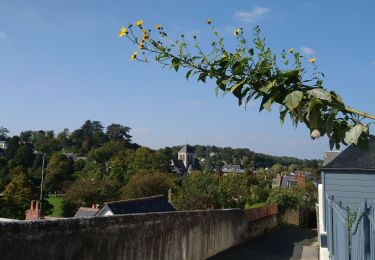
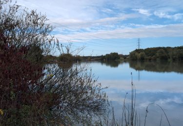
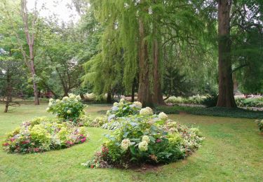
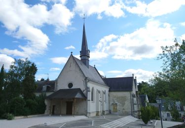
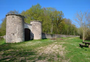
Bords de la Loire, ville et forêt d'Amboise, bords du Cher, bois des Hâtes.
VTC recommandé à partir de St Martin le Beau, sinon RD 976.
Marche

Marche
Marche

Marche
Marche

Marche
Marche
Marche
Marche