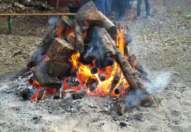
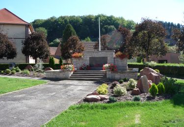
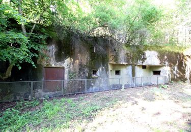
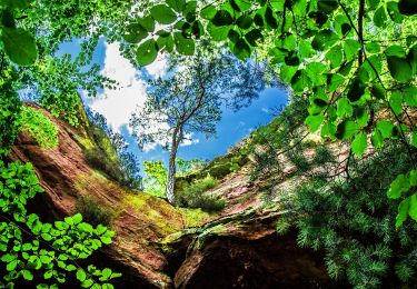
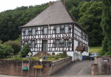
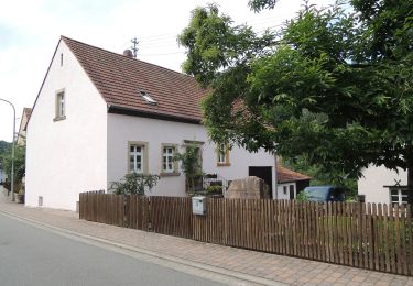
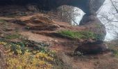
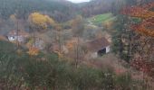
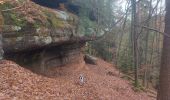
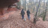
Randonnée Marche Liederschiedt - Le Sentier des Roches à Liederschiedt - Photo

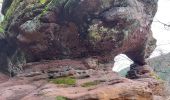
Le Sentier des Roches à Liederschiedt

 gilbertfog57410
gilbertfog57410

Utilisateur

© OpenStreetMap contributors
Longueur
Longueur
6,1 km
Altitude max
Altitude max
406 m
Dénivelé positif
Dénivelé positif
192 m
Km-Effort
Km-Effort  
8,6 km
Altitude min
Altitude min
270 m
Dénivelé négatif
Dénivelé négatif
184 m
Boucle
Boucle
Oui
Date de création :
2022-11-29 12:32:19.28
Dernière modification :
2022-11-29 12:36:53.532

(0 Avis)

Marche
Marche
1h57
Difficulté : Moyen

Scannez ce code QR pour ouvrir la randonnée dans l'application SityTrail

Application GPS de randonnée GRATUITE

Logo SityTrail SityTrail
IGN / Instituts géographiques

Télécharger SityTrail sur l'App Store Télécharger SityTrail sur Google Play

Logo SityTrail SityTrail World
Le monde est à vous

Télécharger SityTrail sur l'App Store Télécharger SityTrail sur Google Play Télécharger SityTrail sur Huawei AppGallery

À propos

Randonnée Marche de 6,1 km à découvrir à Grand Est, Moselle, Liederschiedt. Cette randonnée est proposée par gilbertfog57410.

Description

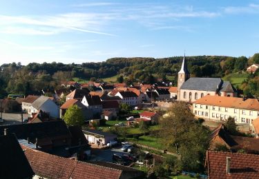
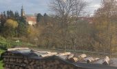
Départ du parking forestier près de la croix en bordure de D86b, la route vers Liederschiedt ; au carrefour avec D86 au lieu-dit Eberbach. Descendre, avec prudence, une centaine de mètres sur D86 et tourner à gauche sur le chemin balisé d’un R sur fond bleu. Le sentier suit le ruisseau Grunnelsbach rive droite. À partir du Moulin de Roppeviller suivre le Schlangenbach puis le Altwieserbach toujours rive droite. Entrer dans le village de Liederschiedt par la Rue des Bergers. Continuer à gauche sur Rue Principale ; voir le beau clocher de l’église. Après la Mairie, tourner à gauche sur Rue du Moulin. Continuer sur le Muhlenweg, un chemin descendant jusqu’au parking du départ.
Photos de la balade https://photos.app.goo.gl/abT8zbudMPFDJqj6A
D’autres randonnées dans le topoguide « Balades dans le Pays de Bitche » :
http://www.clubvosgienbitche.fr/topoguide-balades-pays-bitche.html

Profil altimétrique

Photos

Localisation

Pays :
France
Région :
Grand Est
Département/Province :
Moselle
Commune :
Liederschiedt
Localité :
Unknown
Départ:(UTM)
389348 ; 5441686 (32U) N.

Randonnées à proximité

Randonnée Marche Roppeviller - Le rocher de l'Altschlossfelsen - Photo
Marche
VacheKiri67

Marche

Facile
(2)
Roppeviller, Grand Est, Moselle, France
13 km | 16,1 km-effort
3h 30min
Oui
Randonnée A pied Walschbronn - Anneau bleu - Photo
A pied
GUIDE+

A pied

Facile
Walschbronn, Grand Est, Moselle, France
7 km | 8,8 km-effort
2h 0min
Oui
Randonnée A pied Hanviller - Chevalet jaune - Photo
A pied
GUIDE+

A pied

Facile
Hanviller, Grand Est, Moselle, France
6,3 km | 7,1 km-effort
1h 37min
Non
Randonnée A pied Schorbach - Anneau bleu - Photo
A pied
GUIDE+

A pied

Facile
Schorbach, Grand Est, Moselle, France
14,6 km | 18,7 km-effort
4h 15min
Oui
Randonnée A pied Roppeviller - Circuit du rocher de l'Altschlossfelsen - Photo
A pied
GUIDE+

A pied

Facile
Roppeviller, Grand Est, Moselle, France
7,1 km | 9,7 km-effort
2h 12min
Oui
Randonnée A pied Schweix - Anneau rouge - Photo
A pied
GUIDE+

A pied

Facile
Schweix, Rhénanie-Palatinat, Südwestpfalz, Allemagne
11,6 km | 14,3 km-effort
3h 15min
Oui
Randonnée A pied Eppenbrunn - Rundwanderweg Eppenbrunn 4 - Photo
A pied
GUIDE+

A pied

Facile
Eppenbrunn, Rhénanie-Palatinat, Südwestpfalz, Allemagne
7 km | 9,3 km-effort
2h 7min
Oui
Randonnée A pied Eppenbrunn - Grenzweg - Photo
A pied
GUIDE+

A pied

Facile
Eppenbrunn, Rhénanie-Palatinat, Südwestpfalz, Allemagne
11,3 km | 15 km-effort
3h 24min
Oui
Randonnée A pied Eppenbrunn - Altschloßpfad - Photo
A pied
GUIDE+

A pied

Facile
Eppenbrunn, Rhénanie-Palatinat, Südwestpfalz, Allemagne
10 km | 13,4 km-effort
3h 3min
Oui


Fermer
Mes abonnements