


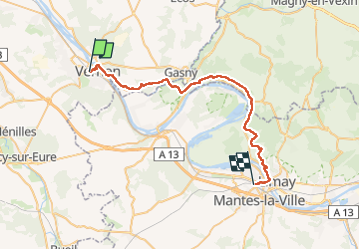


9,2 km | 11,5 km-effort


Utilisateur GUIDE


Application GPS de randonnée GRATUITE
 SityTrail
IGN / Instituts géographiques
SityTrail World
Le monde est à vous
Randonnée Marche de 37 km à découvrir à Normandie, Eure, Vernon. Cette randonnée est proposée par chessyca.
Rando féérique à l'automne
Attention un peu sportif !


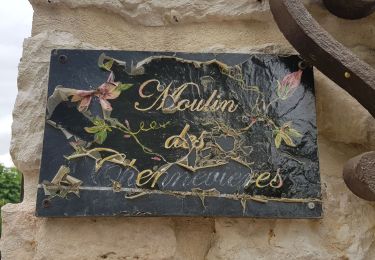
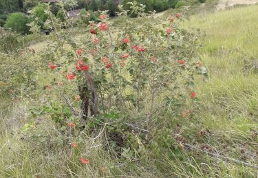
21 photos au total. Cliquez sur une photo pour les afficher toutes dans la galerie.

Marche

Marche
Marche
Marche

Moteur

Moteur

Moteur

V.T.T.

Marche