


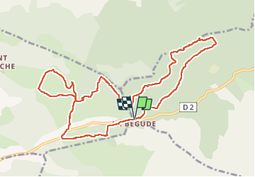


16,5 km | 24 km-effort

Utilisateur


Application GPS de randonnée GRATUITE
 SityTrail
IGN / Instituts géographiques
SityTrail World
Le monde est à vous
Randonnée Marche de 12,5 km à découvrir à Provence-Alpes-Côte d'Azur, Var, Le Castellet. Cette randonnée est proposée par Daniel.BRUN-PICARD.
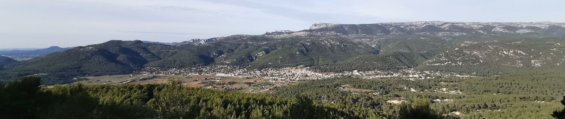
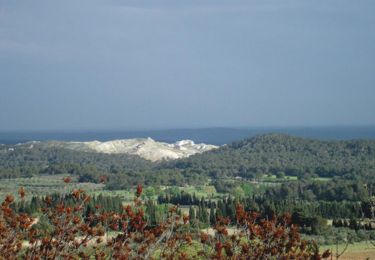
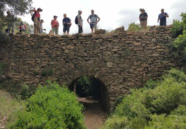
Cette randonnée qui fait le tour des plus beaux points de vue vers Cuges Les Pins et la Sainte Beaume a été organisée par le Touring Club du Var. Merci à nos animateurs.


Marche

Marche

Marche

Marche

Marche

Marche
Marche
Marche

Marche