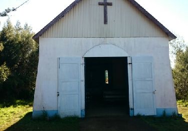
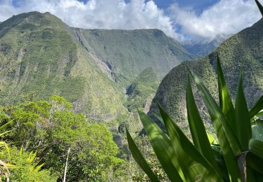
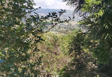
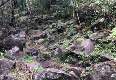
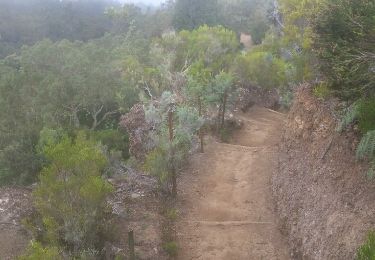
Randonnée Marche Entre-Deux - gd bassin - Photo
 VERO974
VERO974

Utilisateur

© OpenStreetMap contributors
Longueur
Longueur
123 m
Altitude max
Altitude max
688 m
Dénivelé positif
Dénivelé positif
7 m
Km-Effort
Km-Effort  
193 m
Altitude min
Altitude min
661 m
Dénivelé négatif
Dénivelé négatif
0 m
Boucle
Boucle
Non
Date de création :
2022-11-19 09:59:47.862
Dernière modification :
2022-11-19 10:31:39.882

(0 Avis)

Marche
Marche
31m
Difficulté : Facile

Scannez ce code QR pour ouvrir la randonnée dans l'application SityTrail

Application GPS de randonnée GRATUITE

Logo SityTrail SityTrail

IGN / Instituts géographiques

Télécharger SityTrail sur l'App Store Télécharger SityTrail sur Google Play

Logo SityTrail SityTrail World

Le monde est à vous

Télécharger SityTrail sur l'App Store Télécharger SityTrail sur Google Play Télécharger SityTrail sur Huawei AppGallery

À propos

Randonnée Marche de 123 m à découvrir à La Réunion, Inconnu, Entre-Deux. Cette randonnée est proposée par VERO974.

Profil altimétrique

Localisation

Pays :
France
Région :
La Réunion
Département/Province :
Inconnu
Commune :
Entre-Deux
Localité :
Unknown
Départ:(UTM)
347385 ; 7656801 (40K) S.

Randonnées à proximité

Randonnée Marche Entre-Deux - La Réunion - Le Dimitile (aller-retour) par le sentier de  la chapelle. - Photo
Marche
olive2b

Marche

Moyen
(1)
Entre-Deux, La Réunion, Inconnu, France
11,9 km | 24 km-effort
5h 29min
Oui
Randonnée Marche Le Tampon - Grand Bassin à partir de Bois Court - Photo
Marche
wallander76

Marche

Difficile
(1)
Le Tampon, La Réunion, Inconnu, France
9,5 km | 22 km-effort
4h 23min
Oui
Randonnée Marche Entre-Deux - Jacky Inard jusqu'à la 1ere echelle - Photo
Marche
margouillat

Marche

Très difficile
Entre-Deux, La Réunion, Inconnu, France
17 km | 37 km-effort
8h 19min
Oui
Randonnée Trail Le Tampon - Voile de la Mariée par Grand Bassin  - Photo
Trail
sylviedaniel

Trail

Difficile
Le Tampon, La Réunion, Inconnu, France
10,4 km | 25 km-effort
3h 20min
Oui
Randonnée A pied Le Tampon - 3 pitons à Bourg Murat - Photo
A pied
GilbertLP

A pied

Moyen
Le Tampon, La Réunion, Inconnu, France
12,4 km | 16,4 km-effort
Inconnu
Oui
Randonnée Marche Cilaos - Bonnet de prêtre mag papa lol - Photo
Marche
Olivier Moine

Marche

Cilaos, La Réunion, Inconnu, France
4,3 km | 8,9 km-effort
2h 48min
Oui
Randonnée Marche Le Tampon - grand bassin mollaret piton rando - Photo
Marche
francejpp

Marche

Difficile
(1)
Le Tampon, La Réunion, Inconnu, France
18,9 km | 37 km-effort
7h 30min
Oui
Randonnée Marche Le Tampon - Coteau Maigre - Photo
Marche
cyrille.fanny

Marche

Difficile
(2)
Le Tampon, La Réunion, Inconnu, France
16,8 km | 26 km-effort
5h 26min
Oui
Randonnée Marche Entre-Deux - joli tour au dessus d'entre d'eux - Photo
Marche
yannaebersold

Marche

Facile
Entre-Deux, La Réunion, Inconnu, France
11,5 km | 24 km-effort
3h 51min
Oui


Fermer
Mes abonnements