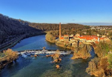
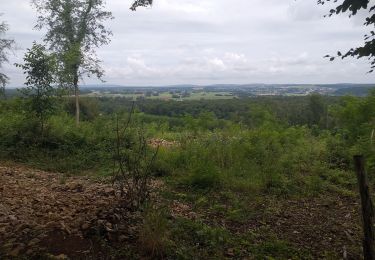
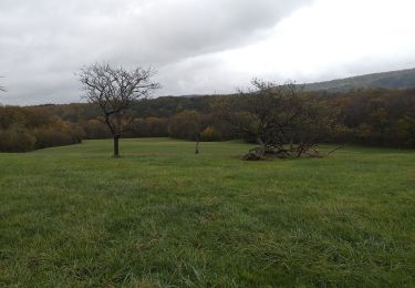
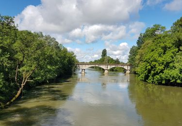
7,6 km | 10,5 km-effort
fourg
GUYOTdaniel
Utilisateur
Longueur
9 km
Altitude max
287 m
Dénivelé positif
86 m
Km-Effort
10,2 km
Altitude min
260 m
Dénivelé négatif
86 m
Boucle
Oui
Date de création :
2022-11-16 13:38:37.616
Dernière modification :
2022-11-16 15:42:21.053
2h03
Difficulté : Très facile
Application GPS de randonnée GRATUITE
À propos
Randonnée Marche de 9 km à découvrir à Bourgogne-Franche-Comté, Doubs, Fourg. Cette randonnée est proposée par GUYOTdaniel.
Description
rando
Localisation
Pays :
France
Région :
Bourgogne-Franche-Comté
Département/Province :
Doubs
Commune :
Fourg
Localité :
Unknown
Départ:(Dec)
Départ:(UTM)
713250 ; 5219847 (31T) N.
Commentaires
Randonnées à proximité
Sentier sur les Roches
A pied
Facile
Osselle-Routelle,
Bourgogne-Franche-Comté,
Doubs,
France
2h 23min
Oui
Lombard
Marche
Moyen
Lombard,
Bourgogne-Franche-Comté,
Doubs,
France
18,9 km | 24 km-effort
3h 18min
Oui
villars
Marche
Facile
Villars-Saint-Georges,
Bourgogne-Franche-Comté,
Doubs,
France
13,4 km | 16,9 km-effort
3h 32min
Oui
le château du marquis, abbans dessous
Marche
Facile
(1)
Abbans-Dessous,
Bourgogne-Franche-Comté,
Doubs,
France
14,7 km | 20 km-effort
2h 17min
Oui
fourg 2023
Marche
Très facile
Fourg,
Bourgogne-Franche-Comté,
Doubs,
France
11,3 km | 13,3 km-effort
2h 33min
Non
Osselle sablière
Marche
Très facile
Osselle-Routelle,
Bourgogne-Franche-Comté,
Doubs,
France
3,7 km | 3,8 km-effort
53min
Oui
Liesle - Pont-de-Poitte
Cyclotourisme
Difficile
Liesle,
Bourgogne-Franche-Comté,
Doubs,
France
77 km | 90 km-effort
4h 59min
Non
VILLARS SAINT GEORGES FOURG
Marche
Difficile
Villars-Saint-Georges,
Bourgogne-Franche-Comté,
Doubs,
France
10,8 km | 13 km-effort
2h 56min
Oui
Fourg 24
Marche
Très facile
Fourg,
Bourgogne-Franche-Comté,
Doubs,
France
9,9 km | 12,1 km-effort
2h 20min
Oui