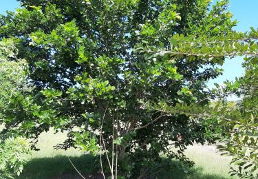
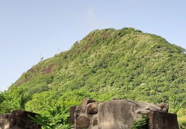
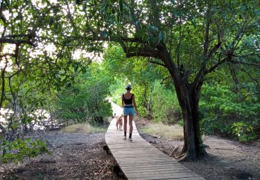
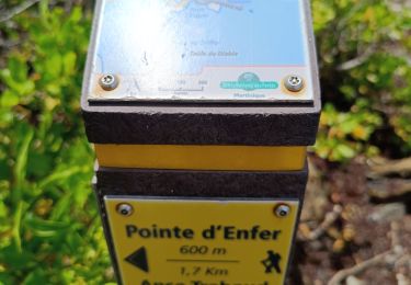
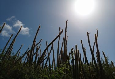
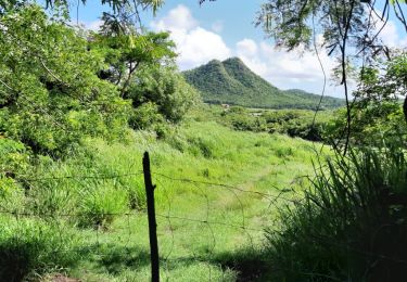
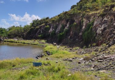
Randonnée Marche Sainte-Anne - Parking Anse Michel les anglais pointe coton boucle  - Photo

Parking Anse Michel les anglais pointe coton boucle

 manuelPerez
manuelPerez

Utilisateur GUIDE

© OpenStreetMap contributors
Longueur
Longueur
13,7 km
Altitude max
Altitude max
62 m
Dénivelé positif
Dénivelé positif
152 m
Km-Effort
Km-Effort  
15,7 km
Altitude min
Altitude min
1 m
Dénivelé négatif
Dénivelé négatif
153 m
Boucle
Boucle
Oui
Date de création :
2022-11-13 10:53:40.0
Dernière modification :
2022-11-13 21:27:40.096

(1 Avis)

Marche
Marche
3h50
Difficulté : Inconnu

Scannez ce code QR pour ouvrir la randonnée dans l'application SityTrail

Application GPS de randonnée GRATUITE

Logo SityTrail SityTrail

IGN / Instituts géographiques

Télécharger SityTrail sur l'App Store Télécharger SityTrail sur Google Play

Logo SityTrail SityTrail World

Le monde est à vous

Télécharger SityTrail sur l'App Store Télécharger SityTrail sur Google Play Télécharger SityTrail sur Huawei AppGallery

À propos

Randonnée Marche de 13,7 km à découvrir à Martinique, Inconnu, Sainte-Anne. Cette randonnée est proposée par manuelPerez.

Description

Boucle

Profil altimétrique

Localisation

Pays :
France
Région :
Martinique
Département/Province :
Inconnu
Commune :
Sainte-Anne
Localité :
Unknown
Départ:(UTM)
734028 ; 1597164 (20P) N.

Commentaires

Veuillez vous connecter pour laisser un commentaire ou une note


Très belle randonnée, la boucle dans la campagne permets de mieux apprécier la région pour nous autres, les touristes. Merci.


Randonnées à proximité

Randonnée Marche Sainte-Anne - du piton crève-coeur vers Le Cap chevalier  - Photo
Marche
GUIDE
GabyG

Marche

Très facile
(1)
Sainte-Anne, Martinique, Inconnu, France
3,9 km | 4,7 km-effort
58min
Non
Randonnée Marche Sainte-Anne - petit Versailles vers cap chevalier.  - Photo
Marche
GUIDE
GabyG

Marche

Très facile
(1)
Sainte-Anne, Martinique, Inconnu, France
11,4 km | 13,7 km-effort
2h 15min
Non
Randonnée Marche Le Marin - GabyG. Cap Macré/Cap beauchêne. - Photo
Marche
GUIDE
GabyG

Marche

Difficile
(1)
Le Marin, Martinique, Inconnu, France
5 km | 6,5 km-effort
1h 25min
Oui
Randonnée Marche Sainte-Anne - Baie des Anglais - Anse Michel - Photo
Marche
GUIDE
David25400

Marche

Très facile
(1)
Sainte-Anne, Martinique, Inconnu, France
10,1 km | 11,2 km-effort
3h 18min
Oui
Randonnée V.T.T. Sainte-Anne - Rando certif SA2 - Photo
V.T.T.
GUIDE
manuelPerez

V.T.T.

Très facile
(1)
Sainte-Anne, Martinique, Inconnu, France
18,4 km | 23 km-effort
6h 16min
Oui
Randonnée Marche Sainte-Anne - Saline vers la savane des pétrifications. - Photo
Marche
GUIDE
GabyG

Marche

Facile
Sainte-Anne, Martinique, Inconnu, France
4,5 km | 5 km-effort
1h 8min
Oui
Randonnée Marche Sainte-Anne - Savane des Pétrifications 2 - Photo
Marche
GUIDE
David25400

Marche

Très facile
(1)
Sainte-Anne, Martinique, Inconnu, France
6,9 km | 7,6 km-effort
2h 39min
Oui
Randonnée Marche Sainte-Anne - Cap Chevalier vers la pointe-Marin - Photo
Marche
GUIDE
GabyG

Marche

Moyen
Sainte-Anne, Martinique, Inconnu, France
8 km | 10,1 km-effort
2h 17min
Non
Randonnée Marche Sainte-Anne - les anglais vers Cap chevalier  - Photo
Marche
GUIDE
GabyG

Marche

Facile
Sainte-Anne, Martinique, Inconnu, France
3 km | 3,8 km-effort
1h 44min
Non


Fermer
Mes abonnements