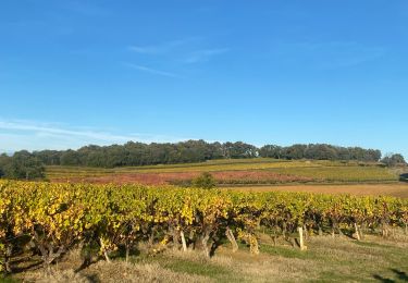
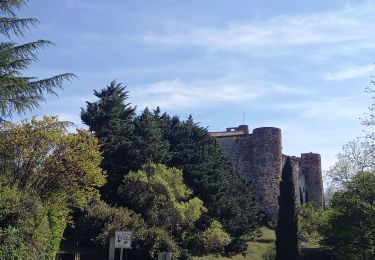
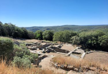
14,4 km | 16,8 km-effort
bastide d'engras pougnadoresse
Dan30
Utilisateur
Longueur
7,1 km
Altitude max
253 m
Dénivelé positif
133 m
Km-Effort
8,9 km
Altitude min
158 m
Dénivelé négatif
125 m
Boucle
Oui
Date de création :
2022-11-10 12:55:50.189
Dernière modification :
2022-11-10 15:51:18.884
52m
Difficulté : Facile
Application GPS de randonnée GRATUITE
À propos
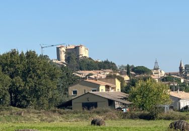
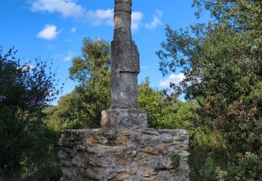
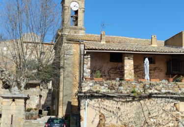
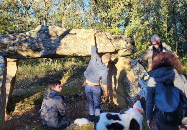
Randonnée Marche de 7,1 km à découvrir à Occitanie, Gard, La Bastide-d'Engras. Cette randonnée est proposée par Dan30.
Localisation
Pays :
France
Région :
Occitanie
Département/Province :
Gard
Commune :
La Bastide-d'Engras
Localité :
Unknown
Départ:(Dec)
Départ:(UTM)
618653 ; 4883459 (31T) N.
Commentaires
Randonnées à proximité
Masmolène et l'étang de la Capelle
Marche
Très facile
(1)
La Capelle-et-Masmolène,
Occitanie,
Gard,
France
3h 37min
Non
La Bastide D’Englas Pougnadoresse
sport
Très facile
La Bastide-d'Engras,
Occitanie,
Gard,
France
14,3 km | 17,2 km-effort
Inconnu
Oui
2 monastère solan avf
Marche
Moyen
(1)
La Bastide-d'Engras,
Occitanie,
Gard,
France
9,4 km | 11,7 km-effort
2h 39min
Oui
Vallabrix et le site de Massargues
Marche
Moyen
Vallabrix,
Occitanie,
Gard,
France
6,6 km | 8 km-effort
2h 16min
Oui
La Capelle-et-Masmolène
Marche
Facile
La Capelle-et-Masmolène,
Occitanie,
Gard,
France
7,7 km | 9,1 km-effort
2h 8min
Oui
Cavillargues
Marche
Très difficile
Cavillargues,
Occitanie,
Gard,
France
22 km | 27 km-effort
7h 2min
Oui
la Capelle Masmolène
Marche
Moyen
La Capelle-et-Masmolène,
Occitanie,
Gard,
France
16,8 km | 21 km-effort
5h 45min
Oui
Le pin , la Garbie et oppidum
Marche
Moyen
Le Pin,
Occitanie,
Gard,
France
6,3 km | 8,3 km-effort
2h 42min
Non
30-vtt-lacapelle-St-Siffret-25km-230m-juin21
V.T.T.
Moyen
La Capelle-et-Masmolène,
Occitanie,
Gard,
France
25 km | 28 km-effort
2h 41min
Oui