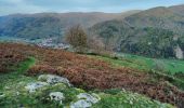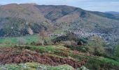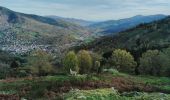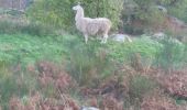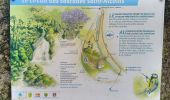

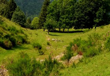
TREK ALSACIEN (boucle, Monroe)

Godasses et Grosses Pattes
Utilisateur

Longueur
16,4 km

Altitude max
825 m

Dénivelé positif
534 m

Km-Effort
24 km

Altitude min
444 m

Dénivelé négatif
532 m
Boucle
Oui
Date de création :
2022-11-08 09:55:04.793
Dernière modification :
2024-09-21 17:57:08.288
6h00
Difficulté : Moyen

Application GPS de randonnée GRATUITE
À propos
Randonnée Marche de 16,4 km à découvrir à Grand Est, Haut-Rhin, Oderen. Cette randonnée est proposée par Godasses et Grosses Pattes.
Description
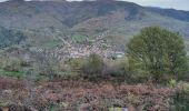
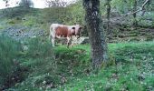
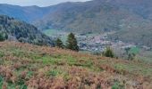
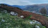
1ère boucle autour d’oderen et en même temps petit hommage qui reprend tout les lieux où Monroe avait l' habitudes de randonnée ou balladé régulièrement.
Localisation
Pays :
France
Région :
Grand Est
Département/Province :
Haut-Rhin
Commune :
Oderen
Localité :
Unknown
Départ:(Dec)
Départ:(UTM)
348896 ; 5308512 (32T) N.
Commentaires
Randonnées à proximité
Autour du lac de Kruth-Wildenstein


Marche
Moyen
(1)
Kruth,
Grand Est,
Haut-Rhin,
France

7,6 km | 12,7 km-effort
3h 15min
Oui

Felsach _chapelle ST Nicolas_frenz


Marche
Difficile
(3)
Fellering,
Grand Est,
Haut-Rhin,
France

9,6 km | 16,5 km-effort
3h 45min
Oui

68 Chapelle St Nicolas - FA du Felsach (1 + 2)


Marche
Moyen
(1)
Oderen,
Grand Est,
Haut-Rhin,
France

10,9 km | 17,9 km-effort
3h 41min
Oui
barrage de Wildenstein et Grand Ventron


Marche
Moyen
(1)
Kruth,
Grand Est,
Haut-Rhin,
France

13,7 km | 24 km-effort
4h 40min
Oui

Breitfirst - Petit Ballon - Col de Firstplan - Wintzenheim


V.T.T.
Moyen
(1)
Metzeral,
Grand Est,
Haut-Rhin,
France

38 km | 52 km-effort
3h 11min
Non
le grand Ve tron


Marche
Moyen
Kruth,
Grand Est,
Haut-Rhin,
France

15,3 km | 25 km-effort
4h 0min
Non

TREK ALSACIEN (boucle, la meute)


Marche
Difficile
Oderen,
Grand Est,
Haut-Rhin,
France

14,3 km | 23 km-effort
4h 30min
Oui
Oderen Bergenbach Langenbach


Marche
Moyen
Oderen,
Grand Est,
Haut-Rhin,
France

7,1 km | 11,6 km-effort
3h 40min
Non
TREK ALSACIEN (1ère étape)


Marche
Moyen
Oderen,
Grand Est,
Haut-Rhin,
France

9,2 km | 18,1 km-effort
4h 0min
Non


 SityTrail


