


17 km | 30 km-effort

Utilisateur


Application GPS de randonnée GRATUITE
 SityTrail
IGN / Instituts géographiques
SityTrail World
Le monde est à vous
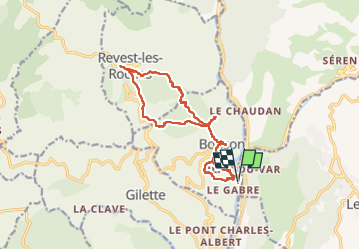
Randonnée Marche de 17,3 km à découvrir à Provence-Alpes-Côte d'Azur, Alpes-Maritimes, Bonson. Cette randonnée est proposée par ETMU5496.
Par le Collet St André
Belle randonnée exigeante mais sans difficulté particulière.
La réserver par une belle journée automnale sèche car deux gués à passer.
IBP - 104


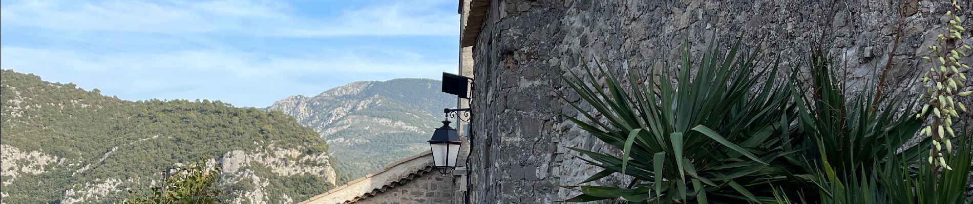
27 photos au total. Cliquez sur une photo pour les afficher toutes dans la galerie.

Marche

Marche

A pied

A pied

A pied

Marche
Marche

Marche

Marche