


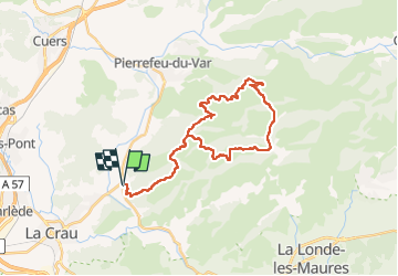

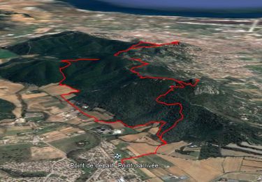
18,1 km | 25 km-effort

Utilisateur


Application GPS de randonnée GRATUITE
 SityTrail
IGN / Instituts géographiques
SityTrail World
Le monde est à vous
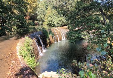
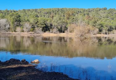
Randonnée Vélo électrique de 33 km à découvrir à Provence-Alpes-Côte d'Azur, Var, Hyères. Cette randonnée est proposée par Yves Locati.
départ la bouvine la piste du viet ,chamadou,retour par vallon de gambet,piste du viet .(que de la piste agréable et facile)

Marche

Marche
Trail
Trail
Marche
Marche
Marche
Marche
Marche