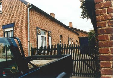
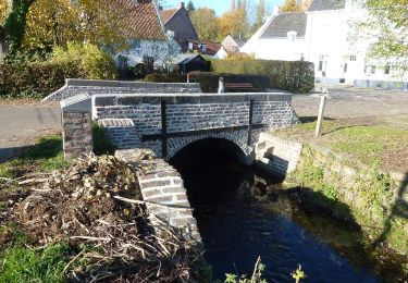
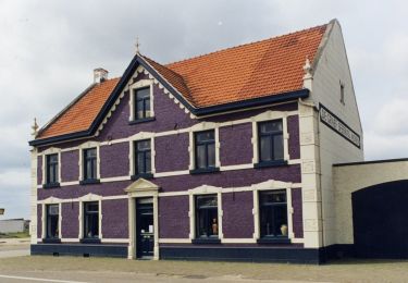
Randonnée Marche Maasgouw - Thorn _438 - Photo
 mumu.larandonneuse
mumu.larandonneuse

Utilisateur GUIDE

© OpenStreetMap contributors
Longueur
Longueur
14,5 km
Altitude max
Altitude max
35 m
Dénivelé positif
Dénivelé positif
109 m
Km-Effort
Km-Effort  
16 km
Altitude min
Altitude min
10 m
Dénivelé négatif
Dénivelé négatif
107 m
Boucle
Boucle
Oui
Date de création :
2022-10-27 09:08:20.006
Dernière modification :
2022-10-27 09:15:51.544

(0 Avis)

Marche
Marche
3h37
Difficulté : Très facile

Scannez ce code QR pour ouvrir la randonnée dans l'application SityTrail

Application GPS de randonnée GRATUITE

Logo SityTrail SityTrail

IGN / Instituts géographiques

Télécharger SityTrail sur l'App Store Télécharger SityTrail sur Google Play

Logo SityTrail SityTrail World

Le monde est à vous

Télécharger SityTrail sur l'App Store Télécharger SityTrail sur Google Play Télécharger SityTrail sur Huawei AppGallery

À propos

Randonnée Marche de 14,5 km à découvrir à Limbourg, Inconnu, Maasgouw. Cette randonnée est proposée par mumu.larandonneuse.

Description

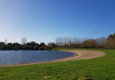
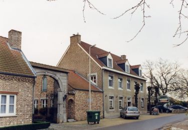
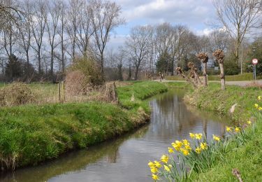
ℹ sur www.wandelgidszuidlimburg.com n° 438 ➡️ Cette promenade à plat est idéale pour explorer les environs de Thorn. L'itinéraire est sur des routes et des chemins bien entretenus et il y a beaucoup à voir. Le long de la belle chapelle Onder de Linden et de la chapelle Saint-Pierre, vous marchez jusqu'à la belle Leerkesven, que vous parcourez tout autour. Ensuite, vous longez la réserve naturelle de Meggelveld jusqu'à la pittoresque ville blanche de Thorn, que vous traversez un peu. Vous pouvez faire une pause au restaurant De Pannenkoekenbakker. La dernière partie le long du ruisseau et de la réserve naturelle de Vijverbroek est magnifique.
.

Profil altimétrique

Localisation

Pays :
Pays-Bas
Région :
Limbourg
Département/Province :
Inconnu
Commune :
Maasgouw
Localité :
Unknown
Départ:(Dec)
Départ:(UTM)
698359 ; 5672628 (31U) N.

Randonnées à proximité

Randonnée Marche Maasgouw - Thorn - Kessenich - Photo
Marche
GUIDE
mumu.larandonneuse

Marche

Très facile
(1)
Maasgouw, Limbourg, Inconnu, Pays-Bas
11,3 km | 12,5 km-effort
2h 38min
Oui
Randonnée A pied Maasgouw - Molenplas - Photo
A pied
GUIDE+

A pied

Facile
Maasgouw, Limbourg, Inconnu, Pays-Bas
6,9 km | 7,7 km-effort
1h 45min
Oui
Randonnée A pied Kinrooi - Aldeneik & Maaseik Oranje bol - Photo
A pied
GUIDE+

A pied

Facile
Kinrooi, Flandre, Limbourg, Belgique
8,4 km | 9,2 km-effort
2h 4min
Non
Randonnée A pied Maasgouw - Kessenich en de Drie Eigen Rode driehoek - Photo
A pied
GUIDE+

A pied

Facile
Maasgouw, Limbourg, Inconnu, Pays-Bas
8,6 km | 9,3 km-effort
2h 7min
Non
Randonnée A pied Kinrooi - Kessenich en de Drie Eigen Paarse boot - Photo
A pied
GUIDE+

A pied

Facile
Kinrooi, Flandre, Limbourg, Belgique
10,6 km | 11,3 km-effort
2h 34min
Non
Randonnée A pied Kinrooi - Kessenich en de Drie Eigen Groene rechthoek - Photo
A pied
GUIDE+

A pied

Facile
Kinrooi, Flandre, Limbourg, Belgique
5,4 km | 5,7 km-effort
1h 18min
Oui
Randonnée A pied Maasgouw - Kessenich en de Drie Eigen Blauwe ruit - Photo
A pied
GUIDE+

A pied

Facile
Maasgouw, Limbourg, Inconnu, Pays-Bas
7,2 km | 7,7 km-effort
1h 44min
Non
Randonnée Voilier Kinrooi - boot op de Maas - Photo
Voilier
SeppePauwels

Voilier

Très facile
Kinrooi, Flandre, Limbourg, Belgique
19,7 km | 21 km-effort
3h 30min
Oui
Randonnée Vélo Leudal - Limburg - Leudalroute - Photo
Vélo
gpstracks

Vélo

Très facile
Leudal, Limbourg, Inconnu, Pays-Bas
40 km | 43 km-effort
Inconnu
Oui


Fermer
Mes abonnements