


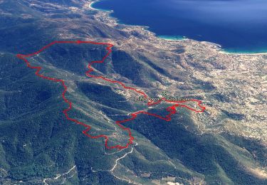
13,4 km | 21 km-effort


Utilisateur


Application GPS de randonnée GRATUITE
 SityTrail
IGN / Instituts géographiques
SityTrail World
Le monde est à vous
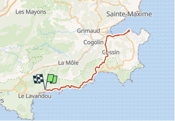
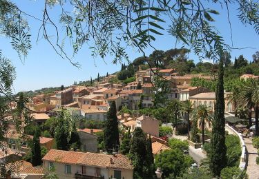
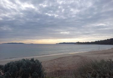
Randonnée Vélo électrique de 66 km à découvrir à Provence-Alpes-Côte d'Azur, Var, Le Lavandou. Cette randonnée est proposée par Hugues Michel.
Balade sympa sur la piste cyclable du littoral, pas de difficulté, si ce n'est les 66km. Piste peu ou pas visible à proximité de St Tropez, mais rien de rédhibitoire.
Marche
Marche

Marche
Marche
Marche
Marche
Marche
Marche

Marche