


 - Photo 21")
 - Photo 22")
 - Photo 23")
 - Photo 24")
 - Photo 25")
 - Photo 26")
 - Photo 27")
 - Photo 28")
 - Photo 29")
 - Photo 30")
 - Photo 31")
 - Photo 32")
 - Photo 33")
 - Photo 34")
 - Photo 35")
 - Photo 36")
 - Photo 37")
 - Photo 38")
 - Photo 39")
 - Photo 40")
 - Photo 41")
 - Photo 42")
 - Photo 43")
 - Photo 44")

40 km | 45 km-effort

Utilisateur


Application GPS de randonnée GRATUITE
 SityTrail
IGN / Instituts géographiques
SityTrail World
Le monde est à vous
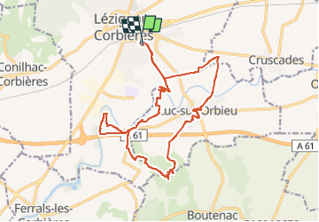
Randonnée Marche de 21 km à découvrir à Occitanie, Aude, Lézignan-Corbières. Cette randonnée est proposée par jacques delaporte.
Belle randonnée en automne, paysages différents mais toujours magnifiques.
retour par les Vignes, passage le Long de L'orbieu.
allergiques aux ronces et aux bambouseraie, s'abstenir 🤣
 - Photo 1")
 - Photo 2")
 - Photo 3")
 - Photo 4")
 - Photo 5")
 - Photo 6")
 - Photo 7")
 - Photo 8")
 - Photo 9")
 - Photo 10")
 - Photo 11")
 - Photo 12")
 - Photo 13")
 - Photo 14")
 - Photo 15")
 - Photo 16")
 - Photo 17")
 - Photo 18")
 - Photo 19")
 - Photo 20")
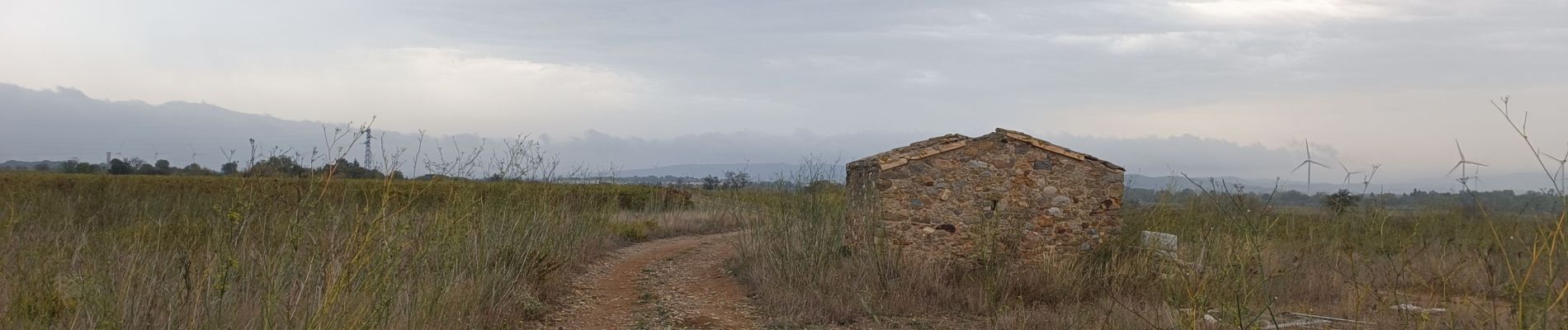
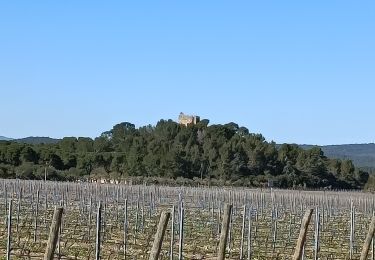
44 photos au total. Cliquez sur une photo pour les afficher toutes dans la galerie.
Marche
Marche
Marche
Marche
Marche
Marche
Marche
Marche
Marche