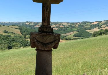
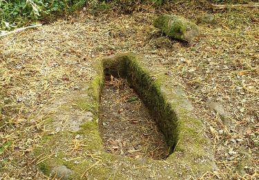
Randonnée Marche Saint-Affrique - BOURNAC  - Photo
 CASSISFRAMBOISE
CASSISFRAMBOISE

Utilisateur

© OpenStreetMap contributors
Longueur
Longueur
17 km
Altitude max
Altitude max
489 m
Dénivelé positif
Dénivelé positif
560 m
Km-Effort
Km-Effort  
24 km
Altitude min
Altitude min
276 m
Dénivelé négatif
Dénivelé négatif
551 m
Boucle
Boucle
Oui
Date de création :
2022-10-15 01:15:14.685
Dernière modification :
2022-10-15 01:15:41.825

(0 Avis)

Marche
Marche
5h32
Difficulté : Très difficile

Scannez ce code QR pour ouvrir la randonnée dans l'application SityTrail

Application GPS de randonnée GRATUITE

Logo SityTrail SityTrail

IGN / Instituts géographiques

Télécharger SityTrail sur l'App Store Télécharger SityTrail sur Google Play

Logo SityTrail SityTrail World

Le monde est à vous

Télécharger SityTrail sur l'App Store Télécharger SityTrail sur Google Play Télécharger SityTrail sur Huawei AppGallery

À propos

Randonnée Marche de 17 km à découvrir à Occitanie, Aveyron, Saint-Affrique. Cette randonnée est proposée par CASSISFRAMBOISE.

Profil altimétrique

Localisation

Pays :
France
Région :
Occitanie
Département/Province :
Aveyron
Commune :
Saint-Affrique
Localité :
Unknown
Départ:(UTM)
483552 ; 4869843 (31T) N.

Randonnées à proximité

Randonnée Marche Broquiès - La Cazotte Le Perayrol - Photo
Marche
Rere1947

Marche

Broquiès, Occitanie, Aveyron, France
18,2 km | 24 km-effort
6h 24min
Oui
Randonnée Marche Saint-Affrique - Les Pressoirs et les tombes rupestres autour de St Affrique - Photo
Marche
nanie

Marche

Moyen
Saint-Affrique, Occitanie, Aveyron, France
9,1 km | 13,9 km-effort
2h 52min
Oui
Randonnée Marche Calmels-et-le-Viala - Viala Cagné Tournet Sounpette Ruminier le Moulin le Viala - Photo
Marche
Bernard Constans

Marche

Difficile
Calmels-et-le-Viala, Occitanie, Aveyron, France
8,9 km | 13 km-effort
2h 57min
Oui
Randonnée Marche Saint-Affrique - camaras Toulouse camaras  - Photo
Marche
lablaquiere

Marche

Difficile
Saint-Affrique, Occitanie, Aveyron, France
10 km | 14,6 km-effort
3h 10min
Oui
Randonnée V.T.T. Vabres-l'Abbaye - St jean D’acapies - Photo
V.T.T.
Christophe Espeyrac

V.T.T.

Très facile
Vabres-l'Abbaye, Occitanie, Aveyron, France
50 km | 57 km-effort
3h 18min
Oui
Randonnée Marche Saint-Affrique - REPAS CLUB 2024 - Photo
Marche
CASSISFRAMBOISE

Marche

Difficile
Saint-Affrique, Occitanie, Aveyron, France
8,7 km | 13,6 km-effort
3h 4min
Non
Randonnée Marche Saint-Affrique - milhau - Photo
Marche
occide

Marche

Difficile
Saint-Affrique, Occitanie, Aveyron, France
7,8 km | 12 km-effort
1h 35min
Oui
Randonnée A pied Saint-Affrique - Col de la Pale Pressoir de Savignac Tour de la Baume - Photo
A pied
sergedurand

A pied

Facile
Saint-Affrique, Occitanie, Aveyron, France
8,1 km | 11,6 km-effort
2h 37min
Oui
Randonnée Marche Vabres-l'Abbaye - vabres abbaye, montcamp - Photo
Marche
Jacky12

Marche

Moyen
Vabres-l'Abbaye, Occitanie, Aveyron, France
3,7 km | 6,1 km-effort
1h 5min
Non


Fermer
Mes abonnements