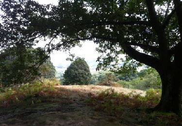
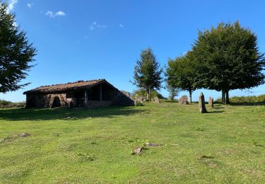
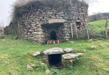
6,6 km | 8,9 km-effort
Palombieres ibantelli
antignacs
Utilisateur GUIDE
Longueur
14,8 km
Boucle
Oui
Date de création :
2022-10-11 07:17:52.0
Dernière modification :
2022-10-11 12:57:45.19
5h06
Difficulté : Facile
Application GPS de randonnée GRATUITE
À propos
Randonnée Marche de 14,8 km à découvrir à Nouvelle-Aquitaine, Pyrénées-Atlantiques, Sare. Cette randonnée est proposée par antignacs.
Localisation
Pays :
France
Région :
Nouvelle-Aquitaine
Département/Province :
Pyrénées-Atlantiques
Commune :
Sare
Localité :
Unknown
Départ:(Dec)
Départ:(UTM)
613789 ; 4792785 (30T) N.
Commentaires
Randonnées à proximité
La rhune par la face EST
Marche
Moyen
(1)
Sare,
Nouvelle-Aquitaine,
Pyrénées-Atlantiques,
France
13,8 km | 26 km-effort
5h 10min
Oui
sare les palombieres
Marche
Facile
Sare,
Nouvelle-Aquitaine,
Pyrénées-Atlantiques,
France
15,8 km | 24 km-effort
4h 44min
Oui
la rhune depuis Sare (2)
Marche
Très facile
(4)
Sare,
Nouvelle-Aquitaine,
Pyrénées-Atlantiques,
France
13,9 km | 26 km-effort
4h 0min
Oui
atxuria zugaramurdi
Marche
Très facile
(3)
Sare,
Nouvelle-Aquitaine,
Pyrénées-Atlantiques,
France
10,3 km | 18,7 km-effort
3h 50min
Oui
Lizarieta descente par palombieres
Marche
Très facile
Sare,
Nouvelle-Aquitaine,
Pyrénées-Atlantiques,
France
8,9 km | 11,9 km-effort
2h 49min
Non
col de lizarrieta et col des 3 bornes
Marche
Difficile
Sare,
Nouvelle-Aquitaine,
Pyrénées-Atlantiques,
France
13 km | 18,5 km-effort
3h 45min
Oui
Lizarrieta, Zentinel, col des 3 bornes, 2024 03 04.
Marche
Difficile
Sare,
Nouvelle-Aquitaine,
Pyrénées-Atlantiques,
France
12,4 km | 17,8 km-effort
4h 3min
Oui
Boucle autour de Sare
Marche
Difficile
Sare,
Nouvelle-Aquitaine,
Pyrénées-Atlantiques,
France
10,7 km | 15,1 km-effort
3h 26min
Oui