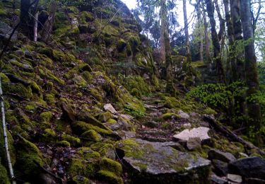
16,8 km | 25 km-effort
Saint Thiébaud 16 km 20221006
cmike39
Utilisateur
Longueur
16,1 km
Altitude max
826 m
Dénivelé positif
706 m
Km-Effort
26 km
Altitude min
420 m
Dénivelé négatif
706 m
Boucle
Oui
Date de création :
2022-10-06 07:40:01.882
Dernière modification :
2022-10-10 19:29:44.452
6h38
Difficulté : Très difficile
Application GPS de randonnée GRATUITE
À propos
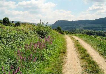
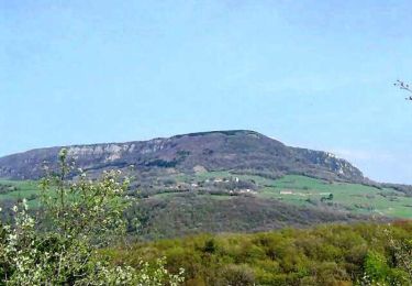
Randonnée Marche de 16,1 km à découvrir à Bourgogne-Franche-Comté, Jura, Saint-Thiébaud. Cette randonnée est proposée par cmike39.
Description
Rando 1er contact P8
Localisation
Pays :
France
Région :
Bourgogne-Franche-Comté
Département/Province :
Jura
Commune :
Saint-Thiébaud
Localité :
Unknown
Départ:(Dec)
Départ:(UTM)
717911 ; 5206162 (31T) N.
Commentaires
Randonnées à proximité
Le Mont Poupet (850 m)
Marche
Difficile
(3)
Salins-les-Bains,
Bourgogne-Franche-Comté,
Jura,
France
5h 0min
Oui
Colline et ruines du château de Vaulgrenant
Marche
Facile
(1)
Pagnoz,
Bourgogne-Franche-Comté,
Jura,
France
5,4 km | 7,9 km-effort
1h 30min
Oui
Val d'Amour
A pied
Facile
Port-Lesney,
Bourgogne-Franche-Comté,
Jura,
France
3,2 km | 4,3 km-effort
58min
Non
Saizenay_Mt Poupet 14 km D+ 560m
Marche
Moyen
(1)
Saizenay,
Bourgogne-Franche-Comté,
Jura,
France
13,9 km | 21 km-effort
4h 27min
Oui
Rennes sur Loue
Marche
Moyen
Rennes-sur-Loue,
Bourgogne-Franche-Comté,
Doubs,
France
21 km | 27 km-effort
4h 7min
Oui
Chemin des Gabelous
A pied
Facile
Port-Lesney,
Bourgogne-Franche-Comté,
Jura,
France
5,9 km | 6,6 km-effort
1h 30min
Non
Nans sous ste Anne
Marche
Difficile
Ivrey,
Bourgogne-Franche-Comté,
Jura,
France
27 km | 39 km-effort
5h 1min
Oui
Marnoz Fort St André Fort Belin Salin 8 sept 2020 CAF
Marche
Difficile
Marnoz,
Bourgogne-Franche-Comté,
Jura,
France
21 km | 34 km-effort
5h 22min
Oui
Ivrey - Mr Poupet 7 juillet 20250 CAF
Marche
Difficile
Ivrey,
Bourgogne-Franche-Comté,
Jura,
France
17,8 km | 29 km-effort
5h 55min
Oui