


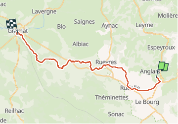

14,6 km | 17,3 km-effort


Utilisateur


Application GPS de randonnée GRATUITE
 SityTrail
IGN / Instituts géographiques
SityTrail World
Le monde est à vous
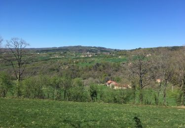
Randonnée Marche de 26 km à découvrir à Occitanie, Lot, Lacapelle-Marival. Cette randonnée est proposée par Jean CORBERON.
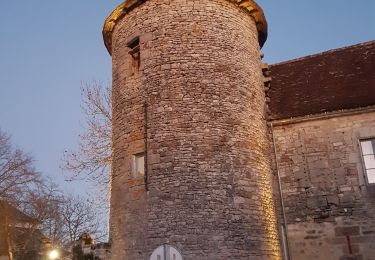
2ème jour
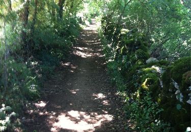
Marche
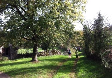
Marche
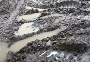
Marche
Marche
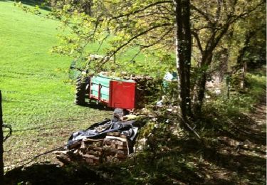
Autre activité

Moto-cross