


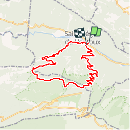

19,1 km | 30 km-effort


Utilisateur


Application GPS de randonnée GRATUITE
 SityTrail
IGN / Instituts géographiques
SityTrail World
Le monde est à vous
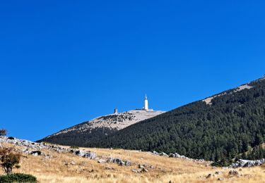
Randonnée Marche de 18,4 km à découvrir à Provence-Alpes-Côte d'Azur, Vaucluse, Saint-Léger-du-Ventoux. Cette randonnée est proposée par mesrandos.
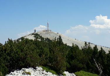
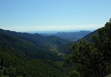
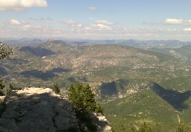
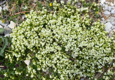
la montée sympatique, descente au début moins intéressante car beaucoup de cailloux et de la piste mais la vue sympa la fin sur sentier bien

Marche

Marche

Marche
Marche
Marche
Marche

Marche
Marche
Marche