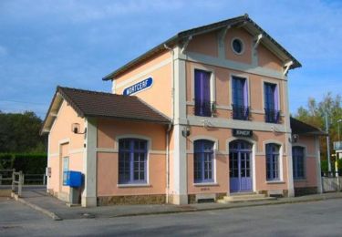
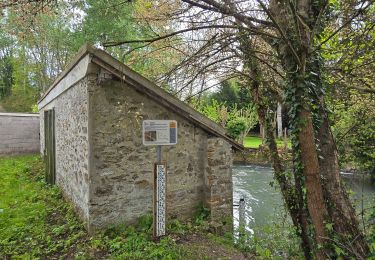
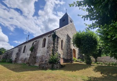
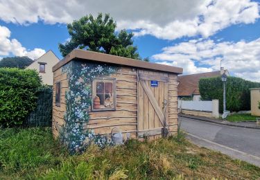
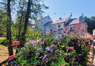
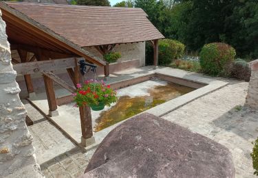
Randonnée A pied Guérard - Boucle du Grand Morin au départ de Guérard - Photo

Boucle du Grand Morin au départ de Guérard

 Jean Paul Phommaha
Jean Paul Phommaha

Utilisateur

© OpenStreetMap contributors
Longueur
Longueur
17,7 km
Altitude max
Altitude max
134 m
Dénivelé positif
Dénivelé positif
303 m
Km-Effort
Km-Effort  
22 km
Altitude min
Altitude min
58 m
Dénivelé négatif
Dénivelé négatif
303 m
Boucle
Boucle
Oui
Date de création :
2022-09-23 14:02:25.021
Dernière modification :
2022-09-23 14:11:39.611

(0 Avis)

A pied
A pied
4h56
Difficulté : Moyen

Scannez ce code QR pour ouvrir la randonnée dans l'application SityTrail

Application GPS de randonnée GRATUITE

Logo SityTrail SityTrail

IGN / Instituts géographiques

Télécharger SityTrail sur l'App Store Télécharger SityTrail sur Google Play

Logo SityTrail SityTrail World

Le monde est à vous

Télécharger SityTrail sur l'App Store Télécharger SityTrail sur Google Play Télécharger SityTrail sur Huawei AppGallery

À propos

Randonnée A pied de 17,7 km à découvrir à Île-de-France, Seine-et-Marne, Guérard. Cette randonnée est proposée par Jean Paul Phommaha.

Description

parking place de la gare de Guérard 77580

Profil altimétrique

Points d'intérêt

Point d'intérêt Guérard - Carrefour de la boucle - Photo
Jean Paul Phommaha
Point d'intérêt Guérard - Croisement en T - Photo
Jean Paul Phommaha
GUÉRARD 
Point d'intérêt Guérard - Bifurcation - Photo
Jean Paul Phommaha
GUÉRARD 
Point d'intérêt La Celle-sur-Morin - Intersection - Photo
Jean Paul Phommaha
LA CELLE-SUR-MORIN 
Point d'intérêt La Celle-sur-Morin - Passage sous la voie ferrée - Photo
Jean Paul Phommaha
LA CELLE-SUR-MORIN 
Point d'intérêt La Celle-sur-Morin - Rue d'en Bas - Photo
Jean Paul Phommaha
LA CELLE-SUR-MORIN 
Point d'intérêt La Celle-sur-Morin - Ponts sur le - Photo
Jean Paul Phommaha
LA CELLE-SUR-MORIN 
Point d'intérêt La Celle-sur-Morin - Les Bertrand - Photo
Jean Paul Phommaha
LA CELLE-SUR-MORIN 
Point d'intérêt Pommeuse - Départ de sentier - Photo
Jean Paul Phommaha
Point d'intérêt Pommeuse - Carrefour - Photo
Jean Paul Phommaha
POMMEUSE 
Point d'intérêt La Celle-sur-Morin - rue du bois - Photo
Jean Paul Phommaha
LA CELLE-SUR-MORIN 
Point d'intérêt Pommeuse - Rue du Bois - Photo
Jean Paul Phommaha
POMMEUSE 
Point d'intérêt La Celle-sur-Morin - Croisement en T - Photo
Jean Paul Phommaha
LA CELLE-SUR-MORIN 
Point d'intérêt Guérard - Rouilly-le-Bas - Rue de Coulommiers - Photo
Jean Paul Phommaha
Point d'intérêt Guérard - en haut des vergers - Photo
Jean Paul Phommaha
Point d'intérêt Guérard - Sentier à droite - Photo
Jean Paul Phommaha
Point d'intérêt Guérard - Patte d'oie dans les bois - Photo
Jean Paul Phommaha
Point d'intérêt Guérard - Pont de Guerard - Photo
Jean Paul Phommaha
GUÉRARD 
Point d'intérêt Guérard - Début de la grimpette - Photo
Jean Paul Phommaha
Point d'intérêt Guérard - Ferme équestre - Bifurcation - Photo
Jean Paul Phommaha
Point d'intérêt Guérard - Carrefour de Prémol - Photo
Jean Paul Phommaha
Point d'intérêt Dammartin-sur-Tigeaux - Moulin de Prémol - Photo
Jean Paul Phommaha
DAMMARTIN-SUR-TIGEAUX 
Point d'intérêt Guérard - Croisement en T - Photo
Jean Paul Phommaha
GUÉRARD 

Localisation

Pays :
France
Région :
Île-de-France
Département/Province :
Seine-et-Marne
Commune :
Guérard
Localité :
Unknown
Départ:(UTM)
496691 ; 5406421 (31U) N.

Randonnées à proximité

Randonnée V.T.T. Mortcerf - Espace VTT FFC - Les Coteaux du Morin et de l'Aubetin - Circuit n° 12 - Mortcerf - Photo
V.T.T.
tracegps

V.T.T.

Moyen
(1)
Mortcerf, Île-de-France, Seine-et-Marne, France
12 km | 13,8 km-effort
1h 0min
Oui
Randonnée A pied Pommeuse - Les lavoirs de Pommeuse - Photo
A pied
GUIDE
chessyca

A pied

Moyen
Pommeuse, Île-de-France, Seine-et-Marne, France
22 km | 26 km-effort
5h 57min
Oui
Randonnée A pied Mortcerf - Boucle autour de Mortcerf - Photo
A pied
GUIDE
chessyca

A pied

Très facile
Mortcerf, Île-de-France, Seine-et-Marne, France
22 km | 26 km-effort
5h 53min
Oui
Randonnée Marche Mortcerf - Le tour du Grand Paris via le GR1 - Etape 11 Morcerf - Verneuil l'Etang - Photo
Marche
GUIDE
chessyca

Marche

Moyen
Mortcerf, Île-de-France, Seine-et-Marne, France
31 km | 34 km-effort
5h 41min
Non
Randonnée Marche Mortcerf - Boucle 20 km autour de Mortcerf - Photo
Marche
GUIDE
chessyca

Marche

Moyen
Mortcerf, Île-de-France, Seine-et-Marne, France
21 km | 25 km-effort
5h 5min
Oui
Randonnée Marche Crécy-la-Chapelle - Autour de Tigeaux - Photo
Marche
em77

Marche

Moyen
(2)
Crécy-la-Chapelle, Île-de-France, Seine-et-Marne, France
13,2 km | 16,5 km-effort
2h 37min
Oui
Randonnée Marche Voulangis - Voulangis - Crécy - Villiers lqqm - Photo
Marche
Tournan

Marche

Difficile
(1)
Voulangis, Île-de-France, Seine-et-Marne, France
12,9 km | 15,7 km-effort
3h 34min
Oui
Randonnée Marche Voulangis - Voulangis - Crécy - Villiers - Photo
Marche
Tournan

Marche

Difficile
(1)
Voulangis, Île-de-France, Seine-et-Marne, France
12,9 km | 15,7 km-effort
3h 34min
Oui
Randonnée Marche Guérard - Guérard  - Photo
Marche
pikibangi

Marche

Difficile
Guérard, Île-de-France, Seine-et-Marne, France
15,4 km | 18,5 km-effort
4h 3min
Oui


Fermer
Mes abonnements