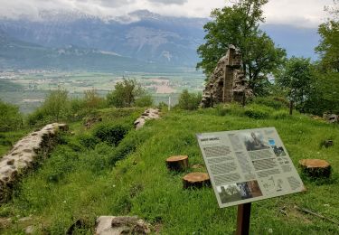
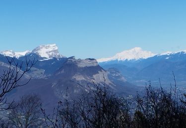
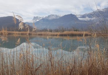
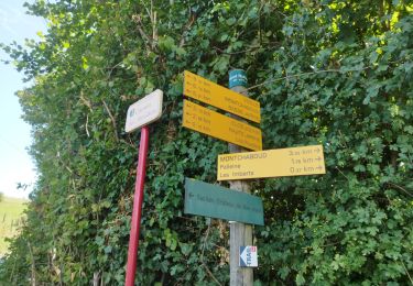
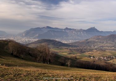
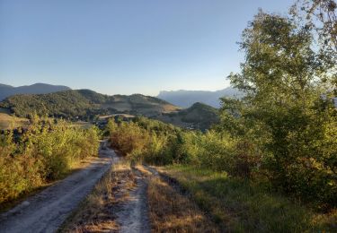
Randonnée V.T.T. Champagnier - Champagnier montchaboud herbeys variantes - Photo

Champagnier montchaboud herbeys variantes

 marc6262
marc6262

Utilisateur

© OpenStreetMap contributors
Longueur
Longueur
27 km
Altitude max
Altitude max
586 m
Dénivelé positif
Dénivelé positif
768 m
Km-Effort
Km-Effort  
37 km
Altitude min
Altitude min
350 m
Dénivelé négatif
Dénivelé négatif
768 m
Boucle
Boucle
Oui
Date de création :
2022-09-22 15:27:37.823
Dernière modification :
2022-09-22 17:27:53.035

(0 Avis)

V.T.T.
V.T.T.
1h43
Difficulté : Facile

Scannez ce code QR pour ouvrir la randonnée dans l'application SityTrail

Application GPS de randonnée GRATUITE

Logo SityTrail SityTrail

IGN / Instituts géographiques

Télécharger SityTrail sur l'App Store Télécharger SityTrail sur Google Play

Logo SityTrail SityTrail World

Le monde est à vous

Télécharger SityTrail sur l'App Store Télécharger SityTrail sur Google Play Télécharger SityTrail sur Huawei AppGallery

À propos

Randonnée V.T.T. de 27 km à découvrir à Auvergne-Rhône-Alpes, Isère, Champagnier. Cette randonnée est proposée par marc6262.

Profil altimétrique

Localisation

Pays :
France
Région :
Auvergne-Rhône-Alpes
Département/Province :
Isère
Commune :
Champagnier
Localité :
Unknown
Départ:(UTM)
714448 ; 4998947 (31T) N.

Randonnées à proximité

Randonnée Marche Claix - caba - Photo
Marche
Sylvie Mathiot

Marche

Très facile
(1)
Claix, Auvergne-Rhône-Alpes, Isère, France
8,7 km | 16,6 km-effort
5h 2min
Oui
Randonnée Course à pied Vizille - Echappée Belle 2013 - Photo
Course à pied
micleo66

Course à pied

Très difficile
(1)
Vizille, Auvergne-Rhône-Alpes, Isère, France
136 km | 279 km-effort
60h 0min
Non
Randonnée Marche Champ-sur-Drac - 38 Couvent St Michel Champ / drac - Photo
Marche
ericf64

Marche

Moyen
Champ-sur-Drac, Auvergne-Rhône-Alpes, Isère, France
9,4 km | 19,7 km-effort
3h 0min
Oui
Randonnée Marche Seyssins - moucheroutte  - Photo
Marche
Youcef Atallah

Marche

Très difficile
Seyssins, Auvergne-Rhône-Alpes, Isère, France
25 km | 43 km-effort
5h 0min
Non
Randonnée Marche Varces-Allières-et-Risset - Les Etangs de Reymure réaménagés en 2023. - Photo
Marche
patjobou

Marche

Moyen
Varces-Allières-et-Risset, Auvergne-Rhône-Alpes, Isère, France
7,9 km | 8,6 km-effort
2h 35min
Oui
Randonnée Marche nordique Jarrie - Mon chabou -haut jarret  - Photo
Marche nordique
Youcef Atallah

Marche nordique

Très facile
Jarrie, Auvergne-Rhône-Alpes, Isère, France
10,2 km | 14,6 km-effort
2h 21min
Oui
Randonnée Marche Brié-et-Angonnes - Brié - Montchabout - Sommet de Pravena - Photo
Marche
flip38

Marche

Moyen
Brié-et-Angonnes, Auvergne-Rhône-Alpes, Isère, France
14,5 km | 23 km-effort
4h 19min
Oui
Randonnée Marche Brié-et-Angonnes - Brié- Table d'orientation  - Photo
Marche
crocau

Marche

Très facile
Brié-et-Angonnes, Auvergne-Rhône-Alpes, Isère, France
3,1 km | 4,3 km-effort
59min
Oui
Randonnée Marche nordique Jarrie - Château de Bon Repos, Bois de Bouchassey, Saut du Moine - Photo
Marche nordique
patjobou

Marche nordique

Facile
Jarrie, Auvergne-Rhône-Alpes, Isère, France
9,6 km | 13,7 km-effort
2h 18min
Oui


Fermer
Mes abonnements