


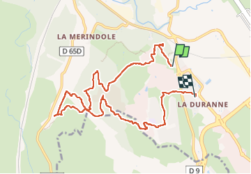

7,7 km | 10,4 km-effort


Utilisateur


Application GPS de randonnée GRATUITE
 SityTrail
IGN / Instituts géographiques
SityTrail World
Le monde est à vous
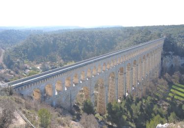
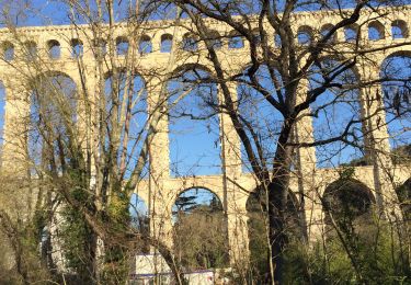
Randonnée Marche de 10,6 km à découvrir à Provence-Alpes-Côte d'Azur, Bouches-du-Rhône, Aix-en-Provence. Cette randonnée est proposée par TESSAVIP.
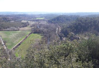
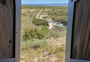
Intéressante promenade sur le plateau et parmi les laboratoires et centres de recherche. Un joli coin de rivière pour un piquenique.
Marche

Marche
Marche
Marche
Marche

A pied
Marche
Marche
Autre activité