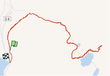

7,4 km | 14,3 km-effort


Utilisateur


Application GPS de randonnée GRATUITE
 SityTrail
IGN / Instituts géographiques
SityTrail World
Le monde est à vous
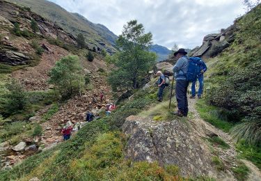
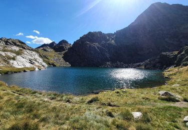
Randonnée Marche de 9,1 km à découvrir à Occitanie, Ariège, Auzat. Cette randonnée est proposée par mherpin.
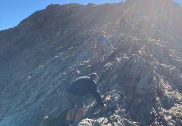
Objectif initial Pic du Picot abandonné au niveau de l'arête à cause d'un orage en approche...
Accès à l'arête raide et un peu exposé, terrain rapidement glissant.
Marche


Marche
Marche

Marche

Marche

Marche
Marche