


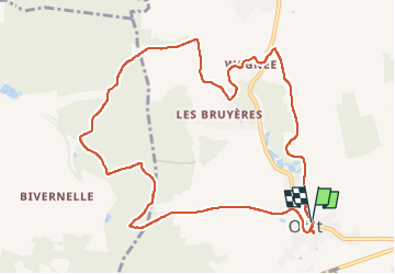

24 km | 29 km-effort


Utilisateur


Application GPS de randonnée GRATUITE
 SityTrail
IGN / Instituts géographiques
SityTrail World
Le monde est à vous
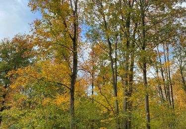
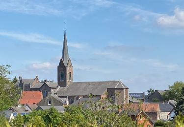
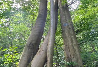
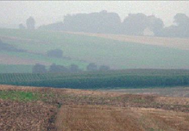
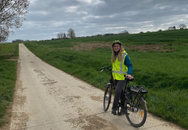
Randonnée Marche de 10,7 km à découvrir à Wallonie, Namur, Mettet. Cette randonnée est proposée par thomarche.
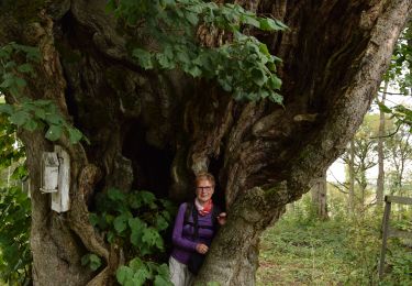
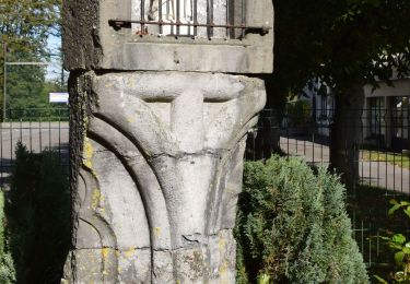
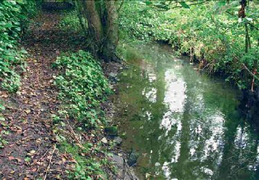
Très belle boucle à partir Centre village. Magnifiques chemins, différentes vues, bois, champs, pâtures. Très peu macadam très peu fréquenté. Et tout à fait ok par temps pluie (chemins très bien drainés)
Marche
Marche
Marche
Marche
Marche
Marche
Marche
Vélo de route

Marche