


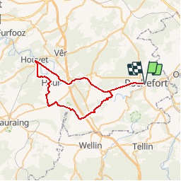


6 km | 7,1 km-effort


Randonnées de la Maison du Tourisme Famenne - Ardenne Ourthe & Lesse PRO


Application GPS de randonnée GRATUITE
 SityTrail
IGN / Instituts géographiques
SityTrail World
Le monde est à vous
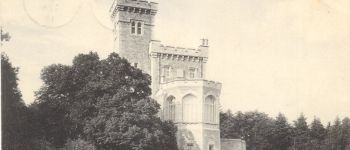
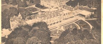
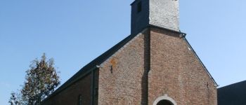
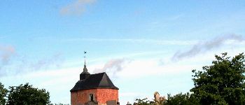
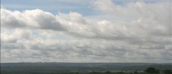
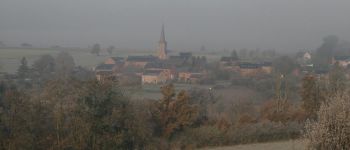
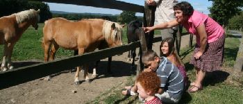
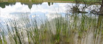
Randonnée Vélo de 45 km à découvrir à Wallonie, Namur, Rochefort. Cette randonnée est proposée par Maison du Tourisme Famenne - Ardenne Ourthe & Lesse.


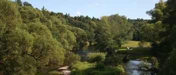
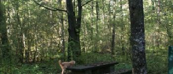
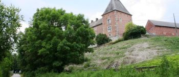
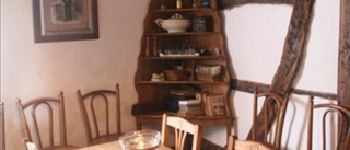
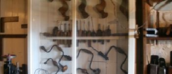
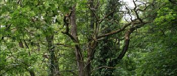
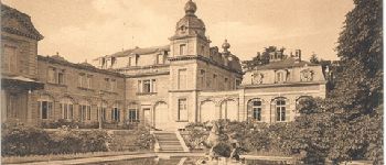
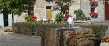
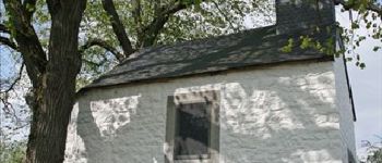
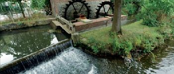
43 photos au total. Cliquez sur une photo pour les afficher toutes dans la galerie.

Marche

Marche

Moteur

Marche

Marche

Marche

Moteur

Marche

Marche