31 km | 41 km-effort
Camping
Fabie Fabie
Utilisateur
Longueur
3,5 km
Altitude max
91 m
Dénivelé positif
16 m
Km-Effort
3,7 km
Altitude min
81 m
Dénivelé négatif
19 m
Boucle
Non
Date de création :
2022-09-15 14:05:57.0
Dernière modification :
2022-09-15 15:36:09.048
1h29
Difficulté : Facile
Application GPS de randonnée GRATUITE
À propos
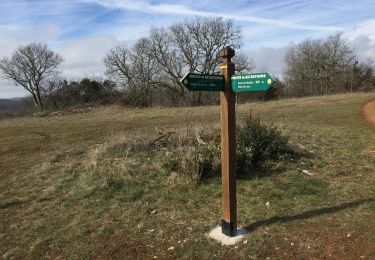
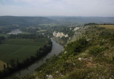
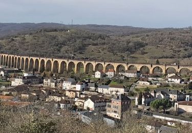
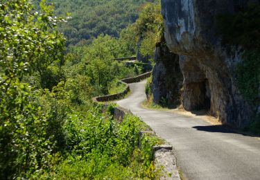
Randonnée Marche de 3,5 km à découvrir à Nouvelle-Aquitaine, Dordogne, Cazoulès. Cette randonnée est proposée par Fabie Fabie.
Localisation
Pays :
France
Région :
Nouvelle-Aquitaine
Département/Province :
Dordogne
Commune :
Cazoulès
Localité :
Unknown
Départ:(Dec)
Départ:(UTM)
375908 ; 4970003 (31T) N.
Commentaires
Randonnées à proximité
Rando Pinsac / Souillac / Le Roc / Nadaillac
V.T.T.
Difficile
(1)
Loupiac,
Occitanie,
Lot,
France
2h 40min
Oui
La balade du Mas Soubrot
Marche
Moyen
Lachapelle-Auzac,
Occitanie,
Lot,
France
4,5 km | 6,6 km-effort
1h 22min
Oui
souillac bord de la dordogne
Marche
Très facile
(2)
Souillac,
Occitanie,
Lot,
France
7,9 km | 9,8 km-effort
2h 13min
Oui
Transsouillagaise 2013 - Souillac
V.T.T.
Très difficile
Souillac,
Occitanie,
Lot,
France
39 km | 51 km-effort
3h 30min
Oui
Souillac_Pipou
Marche
Moyen
(2)
Souillac,
Occitanie,
Lot,
France
13,5 km | 18,1 km-effort
4h 15min
Oui
VALLÉE DE LA DORDOGNE- EST DEPUIS CALVIAC EN PÉRIGORD
Vélo de route
Difficile
Cazoulès,
Nouvelle-Aquitaine,
Dordogne,
France
73 km | 91 km-effort
6h 55min
Non
Souillac-St Cirq-Vallée du Célé-St Céré-Carennac-Turenne
Moto
Facile
Souillac,
Occitanie,
Lot,
France
224 km | 273 km-effort
5h 0min
Non
rouffillac - souillac sud part 2
Marche
Très facile
Lanzac,
Occitanie,
Lot,
France
4,8 km | 5,5 km-effort
1h 3min
Non