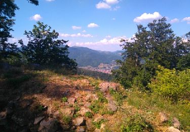
16,3 km | 19,5 km-effort
SityTrail - Bellemagny Vauthiermont
ruelwitt
Utilisateur
Longueur
11,7 km
Altitude max
423 m
Dénivelé positif
178 m
Km-Effort
14,1 km
Altitude min
340 m
Dénivelé négatif
178 m
Boucle
Oui
Date de création :
2022-09-11 17:08:37.551
Dernière modification :
2023-11-19 17:21:40.776
3h12
Difficulté : Difficile
Application GPS de randonnée GRATUITE
À propos
Randonnée Marche de 11,7 km à découvrir à Grand Est, Haut-Rhin, Bellemagny. Cette randonnée est proposée par ruelwitt.
Localisation
Pays :
France
Région :
Grand Est
Département/Province :
Haut-Rhin
Commune :
Bellemagny
Localité :
Unknown
Départ:(Dec)
Départ:(UTM)
354731 ; 5283583 (32T) N.
Commentaires
Randonnées à proximité
Lac de la Seigneurie (10/01/2019)
Marche
Facile
Le Haut-Soultzbach,
Grand Est,
Haut-Rhin,
France
4h 24min
Oui
GR531 Diefmaten Gildwiller
Marche
Facile
Burnhaupt-le-Bas,
Grand Est,
Haut-Rhin,
France
6,1 km | 7,9 km-effort
1h 14min
Non
grimpette au Baerenkopf réel
V.T.T.
Difficile
Petitefontaine,
Bourgogne-Franche-Comté,
Territoire-de-Belfort,
France
27 km | 39 km-effort
3h 9min
Oui
compostelle
Marche
Le Haut-Soultzbach,
Grand Est,
Haut-Rhin,
France
28 km | 34 km-effort
9h 14min
Non
Traubach le haut
V.T.T.
Facile
Traubach-le-Haut,
Grand Est,
Haut-Rhin,
France
27 km | 34 km-effort
1h 48min
Oui
Lachapelle - Lac De Seigneurie (19/01/2023)
Marche
Facile
Lachapelle-sous-Rougemont,
Bourgogne-Franche-Comté,
Territoire-de-Belfort,
France
11,6 km | 12,9 km-effort
3h 27min
Oui
90 Bellemagny - Vauthiermont
Marche
Facile
Bellemagny,
Grand Est,
Haut-Rhin,
France
12,2 km | 14,6 km-effort
3h 19min
Oui
Alsace mardi 02 après midi
4x4
Hecken,
Grand Est,
Haut-Rhin,
France
87 km | 107 km-effort
3h 45min
Non
Traubach-le-haut / sternenberg
V.T.T.
Moyen
Traubach-le-Haut,
Grand Est,
Haut-Rhin,
France
29 km | 36 km-effort
1h 48min
Oui