


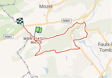

18,3 km | 25 km-effort


Utilisateur


Application GPS de randonnée GRATUITE
 SityTrail
IGN / Instituts géographiques
SityTrail World
Le monde est à vous
Randonnée Marche de 7,9 km à découvrir à Wallonie, Namur, Gesves. Cette randonnée est proposée par thomarche.
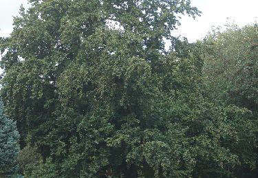
Belle boucle sentiers-chemins-très peu macadam non fréquenté à travers magnifiques bois (très beaux chênes), et belles bâtisses anciennes en pierre. Bcp de chevaux.

Marche

Marche

Marche

Marche

Marche

Marche

Marche

Marche
Marche