


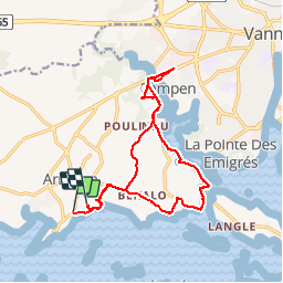

19,8 km | 22 km-effort


Utilisateur


Application GPS de randonnée GRATUITE
 SityTrail
IGN / Instituts géographiques
SityTrail World
Le monde est à vous
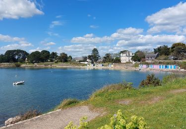
Randonnée V.T.T. de 15,1 km à découvrir à Bretagne, Morbihan, Arradon. Cette randonnée est proposée par ONDERET.
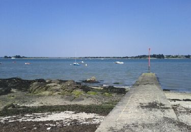
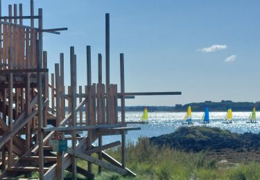
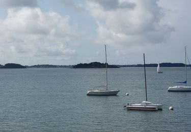
en bordure du Golfe, sentiers piétonniers très belles vues mais avec difficultés telles que passages étroits et escaliers obligeant le port du vtt
Marche

Vélo

Marche
Marche
Marche

Marche
Marche

Marche
Marche