


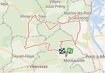

19,9 km | 26 km-effort


Utilisateur


Application GPS de randonnée GRATUITE
 SityTrail
IGN / Instituts géographiques
SityTrail World
Le monde est à vous
Randonnée Marche de 19,7 km à découvrir à Grand Est, Meurthe-et-Moselle, Montauville. Cette randonnée est proposée par DanielROLLET.
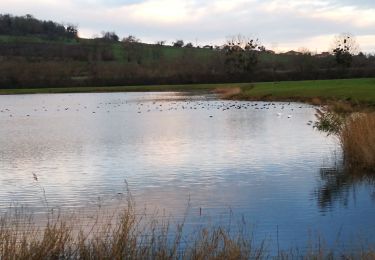
2022 09 04 - 10h10 à 15h35 - Beau temps avec brouillard le matin
Départ/retour au bas du cimetière de Montauville : 13 518 dépouilles dont 5 453 en ossuaire 1 014 soldats inconnus.
Passage à Fey-en-Haye complètement détruit en 2018 et reconstruit 1 km plus loin.

V.T.T.
Vélo
Vélo de route

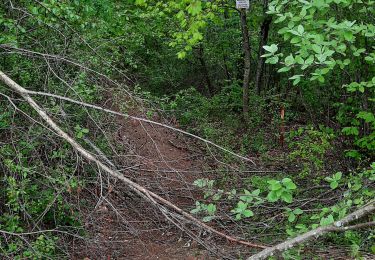
Marche
V.T.T.
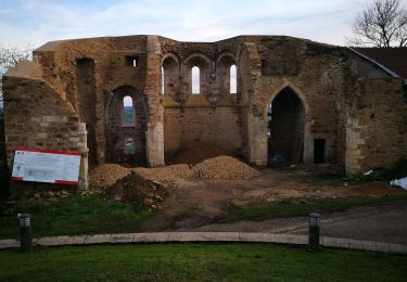
Marche

Marche
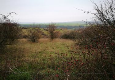
Marche
Marche