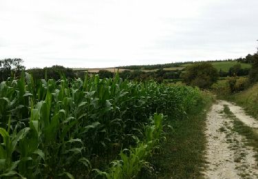
27 km | 34 km-effort
mont ventu
Geliot
Utilisateur
Longueur
11,3 km
Altitude max
178 m
Dénivelé positif
216 m
Km-Effort
14,1 km
Altitude min
79 m
Dénivelé négatif
220 m
Boucle
Oui
Date de création :
2022-09-04 07:38:02.979
Dernière modification :
2022-09-04 10:41:58.884
3h03
Difficulté : Difficile
Application GPS de randonnée GRATUITE
À propos
Randonnée Marche de 11,3 km à découvrir à Hauts-de-France, Pas-de-Calais, Alembon. Cette randonnée est proposée par Geliot.
Localisation
Pays :
France
Région :
Hauts-de-France
Département/Province :
Pas-de-Calais
Commune :
Alembon
Localité :
Unknown
Départ:(Dec)
Départ:(UTM)
421509 ; 5626438 (31U) N.
Commentaires
Randonnées à proximité
Les mille monts de Colembert
Marche
Difficile
(1)
Colembert,
Hauts-de-France,
Pas-de-Calais,
France
7h 15min
Oui
Sentier du Funquet
Marche
Facile
(3)
Boursin,
Hauts-de-France,
Pas-de-Calais,
France
10,9 km | 13,3 km-effort
2h 56min
Oui
La Vallée Madame - Hermelinghen
V.T.T.
Moyen
Hermelinghen,
Hauts-de-France,
Pas-de-Calais,
France
19,2 km | 22 km-effort
2h 30min
Oui
Le Cah-Licqu'Co - Licques
Marche
Difficile
Licques,
Hauts-de-France,
Pas-de-Calais,
France
12,3 km | 15,4 km-effort
3h 4min
Oui
Sentier entre les bois - Hermelinghen
V.T.T.
Moyen
Hermelinghen,
Hauts-de-France,
Pas-de-Calais,
France
19,3 km | 23 km-effort
2h 0min
Oui
balade gourmande
Marche
Moyen
Licques,
Hauts-de-France,
Pas-de-Calais,
France
48 km | 54 km-effort
7h 22min
Non
Colembert
Marche
Difficile
Colembert,
Hauts-de-France,
Pas-de-Calais,
France
11,2 km | 13,4 km-effort
2h 36min
Oui
rando trail
Course à pied
Moyen
Bouquehault,
Hauts-de-France,
Pas-de-Calais,
France
34 km | 41 km-effort
4h 34min
Non
VTT La Licquoise 2011 - Licques
V.T.T.
Difficile
Licques,
Hauts-de-France,
Pas-de-Calais,
France
50 km | 63 km-effort
4h 30min
Oui