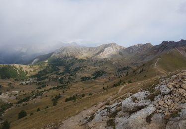
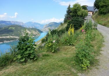
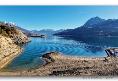
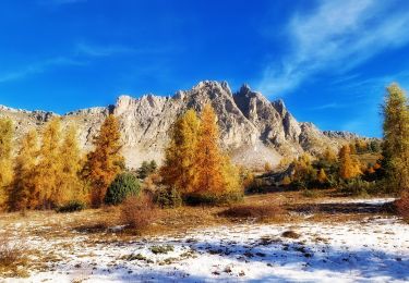
Randonnée Marche Chorges - Chanteloube et lac de Serre Ponçon - Photo

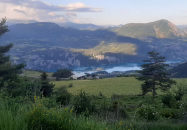
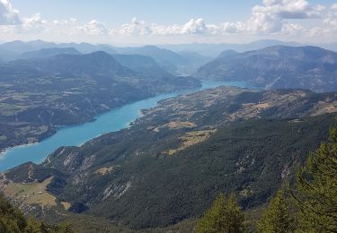
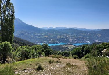
Chanteloube et lac de Serre Ponçon

 gildascb
gildascb

Utilisateur

© OpenStreetMap contributors
Longueur
Longueur
5,9 km
Altitude max
Altitude max
959 m
Dénivelé positif
Dénivelé positif
174 m
Km-Effort
Km-Effort  
8,2 km
Altitude min
Altitude min
817 m
Dénivelé négatif
Dénivelé négatif
172 m
Boucle
Boucle
Oui
Date de création :
2016-08-23 00:00:00.0
Dernière modification :
2016-08-23 00:00:00.0

(2 Avis)

Marche
Marche
1h47
Difficulté : Très facile

Scannez ce code QR pour ouvrir la randonnée dans l'application SityTrail

Application GPS de randonnée GRATUITE

Logo SityTrail SityTrail

IGN / Instituts géographiques

Télécharger SityTrail sur l'App Store Télécharger SityTrail sur Google Play

Logo SityTrail SityTrail World

Le monde est à vous

Télécharger SityTrail sur l'App Store Télécharger SityTrail sur Google Play Télécharger SityTrail sur Huawei AppGallery

À propos

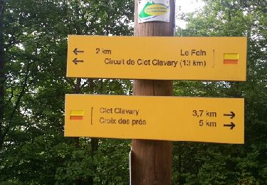
Randonnée Marche de 5,9 km à découvrir à Provence-Alpes-Côte d'Azur, Hautes-Alpes, Chorges. Cette randonnée est proposée par gildascb.

Description

promenade familiale

Profil altimétrique

Photos

Points d'intérêt

Point d'intérêt Chorges - vue vallée Gap - Embrun - Photo
gildascb
Point d'intérêt Chorges - vue pic Morgon - Photo
gildascb
Point d'intérêt Chorges - eglise St Michel - Photo
gildascb
Point d'intérêt Chorges - baie St Michel - Photo
gildascb
Point d'intérêt Chorges - lac - Photo
gildascb
CHORGES 
Point d'intérêt Chorges - sentier ombragé - Photo
gildascb
Point d'intérêt Chorges - chapelle Chanteloube - Photo
gildascb

Localisation

Pays :
France
Région :
Provence-Alpes-Côte d'Azur
Département/Province :
Hautes-Alpes
Commune :
Chorges
Localité :
Unknown
Départ:(Dec)
Départ:(UTM)
285714 ; 4932722 (32T) N.

Commentaires

Veuillez vous connecter pour laisser un commentaire ou une note


Très belle randonnée. Merci


Randonnées à proximité

Randonnée Marche Pontis - PONTIS , le dolmen  - Photo
Marche
GUIDE
RobinMicheline

Marche

Moyen
(1)
Pontis, Provence-Alpes-Côte d'Azur, Alpes-de-Haute-Provence, France
12,9 km | 21 km-effort
3h 50min
Oui
Randonnée Marche Chorges - clôt c l'avais sur fein - Photo
Marche
Didier.kiehl

Marche

Très facile
(2)
Chorges, Provence-Alpes-Côte d'Azur, Hautes-Alpes, France
8 km | 12,6 km-effort
2h 24min
Oui
Randonnée Marche Pontis - Morgon par les Traverses, retour par les Ortals - Photo
Marche
GUIDE
David25400

Marche

Très difficile
Pontis, Provence-Alpes-Côte d'Azur, Alpes-de-Haute-Provence, France
17,1 km | 33 km-effort
5h 49min
Non
Randonnée Marche Pontis - Le Morgonnet - Photo
Marche
GUIDE
Specialized77

Marche

Moyen
Pontis, Provence-Alpes-Côte d'Azur, Alpes-de-Haute-Provence, France
5,9 km | 10,6 km-effort
2h 46min
Oui
Randonnée Marche Pontis - Pic du Morgon par Serre-Chiret - Photo
Marche
GUIDE
David25400

Marche

Difficile
Pontis, Provence-Alpes-Côte d'Azur, Alpes-de-Haute-Provence, France
14 km | 27 km-effort
4h 2min
Oui
Randonnée Marche Le Sauze-du-Lac - Le Sauze-du-Lac - Port St-Pierre - 5.1km 275m 2h10 - 2018 06 29 - Photo
Marche
GUIDE
Orcal37

Marche

Facile
Le Sauze-du-Lac, Provence-Alpes-Côte d'Azur, Hautes-Alpes, France
5,1 km | 8,8 km-effort
2h 10min
Oui
Randonnée Marche Chorges - Montagne du Ruban - Photo
Marche
BLANCHET

Marche

Facile
(2)
Chorges, Provence-Alpes-Côte d'Azur, Hautes-Alpes, France
11 km | 17,4 km-effort
3h 39min
Non
Randonnée Marche Chorges - De la baie de Chanteloube à celle de Saint-Michel - Retour par le Belvédère des Curattes - Photo
Marche
PapouBertrand

Marche

Difficile
Chorges, Provence-Alpes-Côte d'Azur, Hautes-Alpes, France
8,4 km | 12,8 km-effort
2h 55min
Oui
Randonnée Marche Prunières - Trou de pancrace - Serre du mouton et griffes du Lion rose de Salados - Photo
Marche
PapouBertrand

Marche

Très difficile
Prunières, Provence-Alpes-Côte d'Azur, Hautes-Alpes, France
15,1 km | 28 km-effort
6h 25min
Oui


Fermer
Mes abonnements