


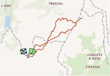


13,6 km | 26 km-effort

Utilisateur


Application GPS de randonnée GRATUITE
 SityTrail
IGN / Instituts géographiques
SityTrail World
Le monde est à vous
Randonnée Marche de 17 km à découvrir à Auvergne-Rhône-Alpes, Savoie, Aime-la-Plagne. Cette randonnée est proposée par tyax93.
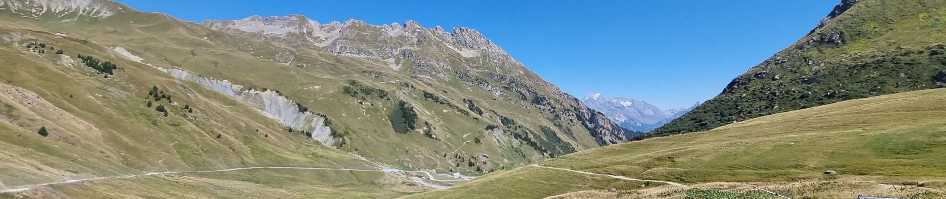
cette boucle est sympa en passant par le Lac d'Amour.. mais un peu longue..
Attention privilégier un depart tot le matin..😎😎


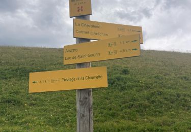
39 photos au total. Cliquez sur une photo pour les afficher toutes dans la galerie.

Marche

Marche

Ski de randonnée

Marche

Marche

Raquettes à neige

Marche

Marche
Marche