


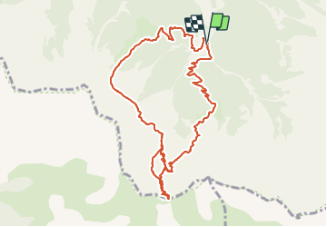

10,6 km | 21 km-effort


Utilisateur


Application GPS de randonnée GRATUITE
 SityTrail
IGN / Instituts géographiques
SityTrail World
Le monde est à vous
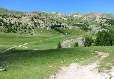
Randonnée Marche de 11,8 km à découvrir à Provence-Alpes-Côte d'Azur, Hautes-Alpes, Crots. Cette randonnée est proposée par gildascb.
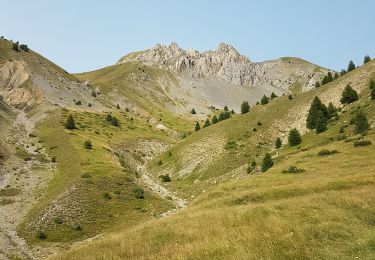
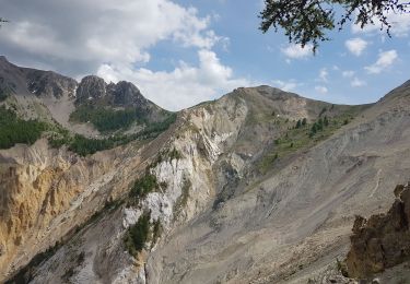
Cette randonnée en boucle, à la journée, sans risque de rencontrer trop de randonneurs, même l'été, se fait en grande partie dans un cadre ouvert permettant de côtoyer quelques sommets au Sud du Lac de Serre-Ponçon, dont le Pouzenc à 2898m.

Marche

Marche
Marche

Marche

Marche

Marche
Marche
Marche
Marche
chouette balade a pieds