


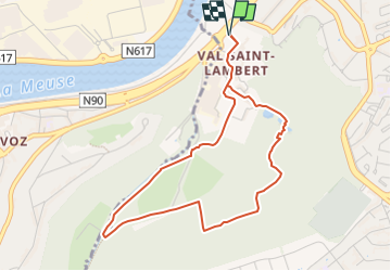

7,9 km | 10,9 km-effort

Utilisateur GUIDE


Application GPS de randonnée GRATUITE
 SityTrail
IGN / Instituts géographiques
SityTrail World
Le monde est à vous
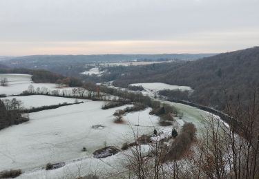
Randonnée Marche de 4,1 km à découvrir à Wallonie, Liège, Seraing. Cette randonnée est proposée par Benjamin27.
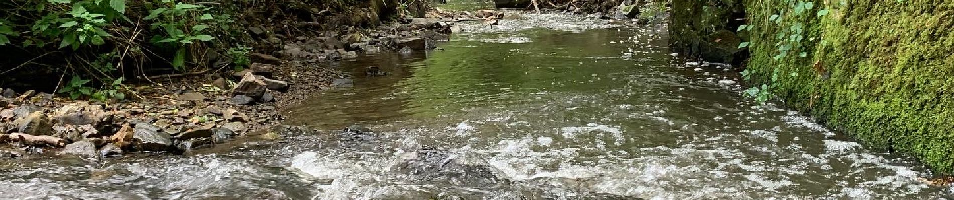
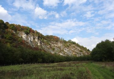
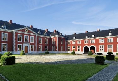
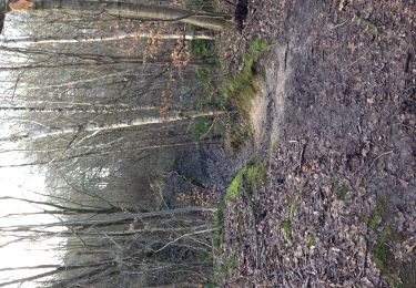
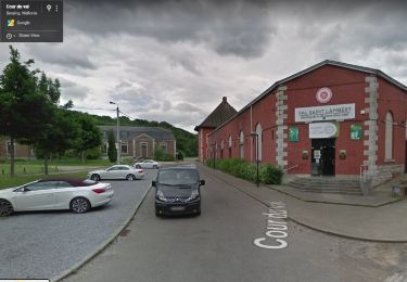
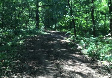
Cet itinéraire a son départ au Syndicat d'Initiative, installé dans le porche du Val Saint-Lambert. Il travers le bois de l'abbaye, et contourne l'ancienne cristallerie. Plusieurs passages relativement difficiles, pour les bons marcheurs.


Marche
Marche

Marche
Marche
Marche
Marche
Marche
Marche
Marche