


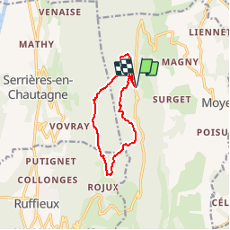

9,1 km | 15,7 km-effort

Utilisateur


Application GPS de randonnée GRATUITE
 SityTrail
IGN / Instituts géographiques
SityTrail World
Le monde est à vous
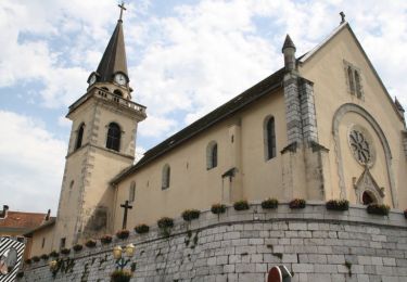
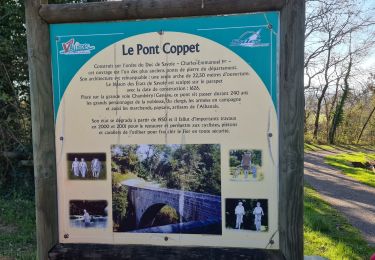
Randonnée Marche nordique de 10,8 km à découvrir à Auvergne-Rhône-Alpes, Haute-Savoie, Moye. Cette randonnée est proposée par woody85.
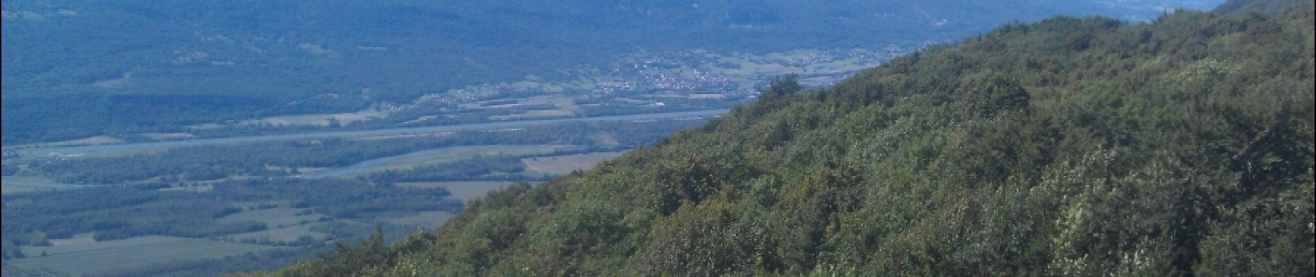
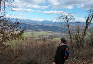
sous bois - belle vue sur la savoie - bons raidillons! - fin de parcours décevante car chemin botanique soit mal indiqué, soit inexistant (carte pas à jour)

Marche
Marche

Marche

V.T.T.

Marche

Marche
Marche
Marche

Marche