


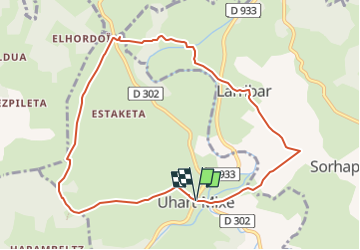


6,1 km | 8,9 km-effort


Utilisateur GUIDE


Application GPS de randonnée GRATUITE
 SityTrail
IGN / Instituts géographiques
SityTrail World
Le monde est à vous
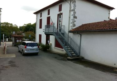
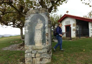
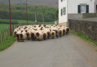
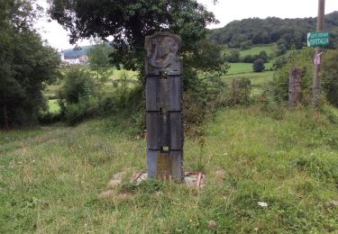
Randonnée A pied de 9,9 km à découvrir à Nouvelle-Aquitaine, Pyrénées-Atlantiques, Uhart-Mixe. Cette randonnée est proposée par marmotte65.
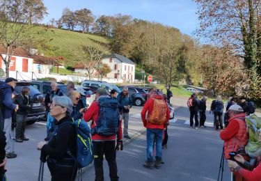
Randonnée choisie par Michel et Evelyne pour la journée des présidents et animateurs de club affiliés le 5/11/2022

Marche
Marche
Marche
Marche
Marche
Marche
Marche
Marche

Marche