


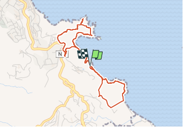


5,7 km | 7,6 km-effort

Utilisateur GUIDE


Application GPS de randonnée GRATUITE
 SityTrail
IGN / Instituts géographiques
SityTrail World
Le monde est à vous
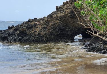
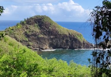
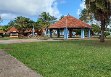
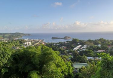
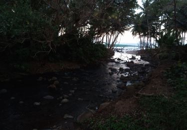
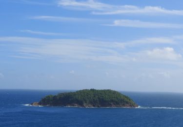
Randonnée Marche de 6,6 km à découvrir à Martinique, Inconnu, Sainte-Marie. Cette randonnée est proposée par GabyG.
Randonnée de découverte, en empruntent en partie le GR, avec un hors piste qui agrémente votre parcours pour photos et points de vue.


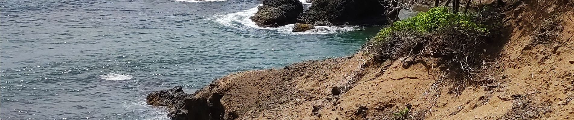
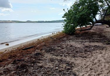
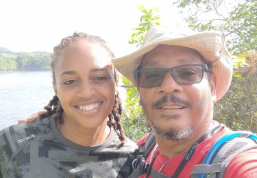
24 photos au total. Cliquez sur une photo pour les afficher toutes dans la galerie.

Marche
Marche
Marche
Marche
Marche
Marche
Marche
Marche
Marche