Randonnée Marche Puilly-et-Charbeaux - Puilly FFSP 2022 - Photo
 fra_depoorter
fra_depoorter

Utilisateur

© OpenStreetMap contributors
Longueur
Longueur
13,2 km
Altitude max
Altitude max
326 m
Dénivelé positif
Dénivelé positif
240 m
Km-Effort
Km-Effort  
16,4 km
Altitude min
Altitude min
207 m
Dénivelé négatif
Dénivelé négatif
237 m
Boucle
Boucle
Oui
Date de création :
2022-08-14 07:04:38.983
Dernière modification :
2022-08-15 18:30:58.864

(1 Avis)

Marche
Marche
3h04
Difficulté : Moyen

Scannez ce code QR pour ouvrir la randonnée dans l'application SityTrail

Application GPS de randonnée GRATUITE

Logo SityTrail SityTrail

IGN / Instituts géographiques

Télécharger SityTrail sur l'App Store Télécharger SityTrail sur Google Play

Logo SityTrail SityTrail World

Le monde est à vous

Télécharger SityTrail sur l'App Store Télécharger SityTrail sur Google Play Télécharger SityTrail sur Huawei AppGallery

À propos

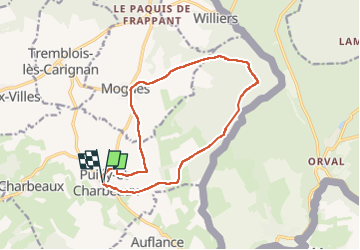
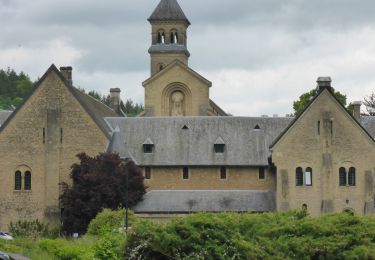
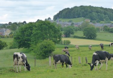
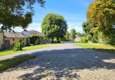
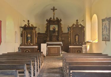
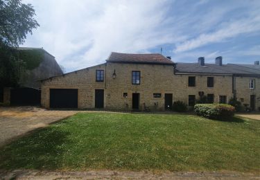
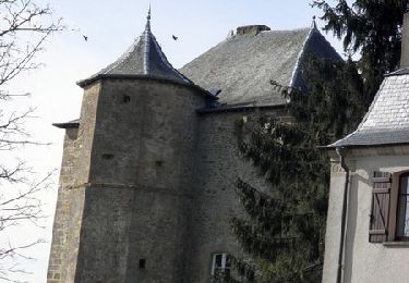
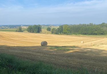
Randonnée Marche de 13,2 km à découvrir à Grand Est, Ardennes, Puilly-et-Charbeaux. Cette randonnée est proposée par fra_depoorter.

Profil altimétrique

Localisation

Pays :
France
Région :
Grand Est
Département/Province :
Ardennes
Commune :
Puilly-et-Charbeaux
Localité :
Unknown
Départ:(UTM)
663992 ; 5500079 (31U) N.

Commentaires

Veuillez vous connecter pour laisser un commentaire ou une note


Randonnées à proximité

Randonnée Marche Florenville - RB-Lu-19_Chameleux_via-racc-2 - Photo
Marche
PRO

Marche

Très facile
(2)
Florenville, Wallonie, Luxembourg, Belgique
18 km | 22 km-effort
4h 43min
Oui
Randonnée Marche Florenville - RB-Lu-19_Chameleux_via-racc-1 - Photo
Marche
PRO

Marche

Très facile
(1)
Florenville, Wallonie, Luxembourg, Belgique
12,6 km | 16,3 km-effort
3h 32min
Oui
Randonnée A pied Florenville - Le Bois de la Vierge - Photo
A pied
GUIDE+

A pied

Facile
Florenville, Wallonie, Luxembourg, Belgique
6,6 km | 8,2 km-effort
1h 52min
Oui
Randonnée Marche Florenville - RB-Lu-19_Chameleux - Photo
Marche
PRO

Marche

Difficile
(2)
Florenville, Wallonie, Luxembourg, Belgique
22 km | 28 km-effort
5h 55min
Oui
Randonnée Marche Williers - williers 160824 - Photo
Marche
guyernage25

Marche

Moyen
Williers, Grand Est, Ardennes, France
18,6 km | 23 km-effort
4h 34min
Oui
Randonnée Marche Williers - rando chameleux 22-08-2024 - Photo
Marche
GUIDE
japy54

Marche

Moyen
Williers, Grand Est, Ardennes, France
18,3 km | 23 km-effort
4h 15min
Oui
Randonnée Marche Florenville - rando chameleux 19-05-2022 - Photo
Marche
GUIDE
japy54

Marche

Moyen
Florenville, Wallonie, Luxembourg, Belgique
14,7 km | 19,2 km-effort
3h 33min
Oui
Randonnée Marche Sapogne-sur-Marche - De Sapogne sur Marche à Margny - Photo
Marche
tracegps

Marche

Difficile
Sapogne-sur-Marche, Grand Est, Ardennes, France
15,6 km | 19,9 km-effort
3h 15min
Oui
Randonnée Marche Mogues - 2022-07-22: ORVAL - Photo
Marche
HibouDesBois

Marche

Moyen
Mogues, Grand Est, Ardennes, France
20 km | 24 km-effort
4h 23min
Oui


Fermer
Mes abonnements