


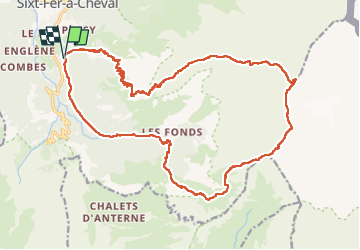

19,8 km | 37 km-effort

Utilisateur


Application GPS de randonnée GRATUITE
 SityTrail
IGN / Instituts géographiques
SityTrail World
Le monde est à vous
Randonnée Marche de 26 km à découvrir à Auvergne-Rhône-Alpes, Haute-Savoie, Sixt-Fer-à-Cheval. Cette randonnée est proposée par djeepee74.
BOUCLE... live de Cris & Karine du 20220813
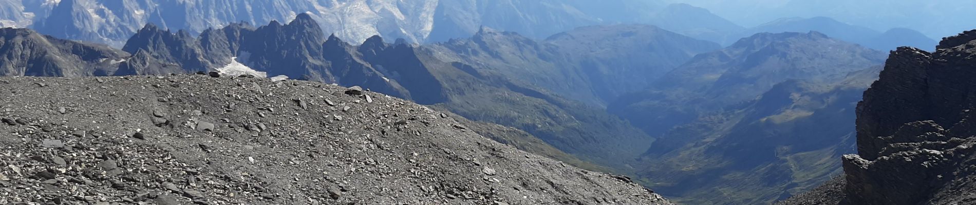
Randonnée de dingue... extrêmement difficile dans la montée comme dans la descente.
"pas pour tout public"...


Marche

Marche

Marche

Marche

Marche

Marche

Marche

Marche

Marche