


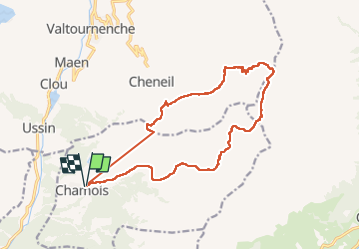

16,1 km | 33 km-effort

Utilisateur


Application GPS de randonnée GRATUITE
 SityTrail
IGN / Instituts géographiques
SityTrail World
Le monde est à vous
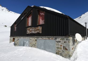
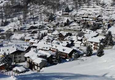
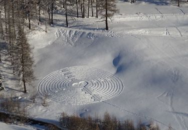
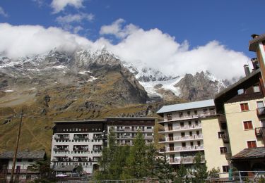
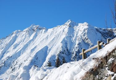
Randonnée Marche de 16,9 km à découvrir à Vallée d'Aoste, Inconnu, Chamois. Cette randonnée est proposée par guyernage25.
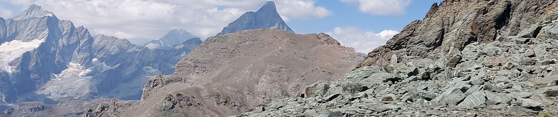
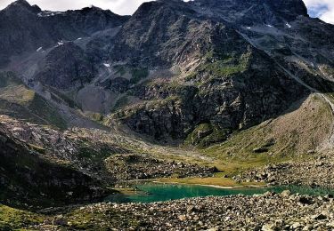
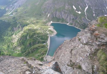
super randonnée montagnarde très difficile, avec l escalade du Petit Tournain très alpine. Descente très raide sur le col Di Nannaz


A pied
A pied
A pied
A pied
A pied
A pied
A pied
A pied
A pied