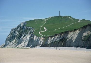
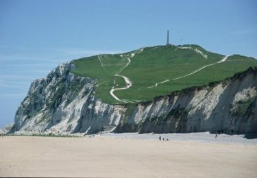
19,6 km | 25 km-effort
118
topolino
Utilisateur
Longueur
118 km
Altitude max
174 m
Dénivelé positif
1824 m
Km-Effort
143 km
Altitude min
-4 m
Dénivelé négatif
1824 m
Boucle
Oui
Date de création :
2022-08-12 16:06:29.671
Dernière modification :
2022-08-12 16:06:29.671
9h53
Difficulté : Très difficile
Application GPS de randonnée GRATUITE
À propos
Randonnée V.T.T. de 118 km à découvrir à Hauts-de-France, Pas-de-Calais, Calais. Cette randonnée est proposée par topolino.
Localisation
Pays :
France
Région :
Hauts-de-France
Département/Province :
Pas-de-Calais
Commune :
Calais
Localité :
Unknown
Départ:(Dec)
Départ:(UTM)
418542 ; 5643745 (31U) N.
Commentaires
Randonnées à proximité
Les Noires Mottes - Sangatte
Marche
Moyen
(1)
Sangatte,
Hauts-de-France,
Pas-de-Calais,
France
4h 0min
Non
Calais visite vie
Marche
Facile
Calais,
Hauts-de-France,
Pas-de-Calais,
France
5,7 km | 6,2 km-effort
1h 49min
Oui
GRP Tour du Calaisis
A pied
Moyen
Calais,
Hauts-de-France,
Pas-de-Calais,
France
24 km | 28 km-effort
6h 15min
Non
Sur les traces de Blériot - Sangatte
Marche
Moyen
Sangatte,
Hauts-de-France,
Pas-de-Calais,
France
9,9 km | 10,2 km-effort
2h 30min
Oui
Ballade le long de la plage de Sangatte
Autre activité
Très facile
Sangatte,
Hauts-de-France,
Pas-de-Calais,
France
8,9 km | 9,3 km-effort
1h 47min
Oui
Le littoral de Calais à Wimereux
V.T.T.
Moyen
Calais,
Hauts-de-France,
Pas-de-Calais,
France
42 km | 48 km-effort
3h 0min
Non
Les Noires Mottes - Sangatte
Course à pied
Moyen
Sangatte,
Hauts-de-France,
Pas-de-Calais,
France
19,6 km | 25 km-effort
2h 0min
Non
20230901 Cote Opale N°1 Calais Escalles
Marche
Difficile
Calais,
Hauts-de-France,
Pas-de-Calais,
France
14,6 km | 17 km-effort
3h 51min
Non
MN de Peuplingues à Escalles en matinée
Marche nordique
Facile
Peuplingues,
Hauts-de-France,
Pas-de-Calais,
France
14,8 km | 16,5 km-effort
3h 0min
Non