


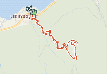

10,6 km | 21 km-effort

Utilisateur


Application GPS de randonnée GRATUITE
 SityTrail
IGN / Instituts géographiques
SityTrail World
Le monde est à vous
Randonnée Marche de 6,3 km à découvrir à Provence-Alpes-Côte d'Azur, Hautes-Alpes, Savines-le-Lac. Cette randonnée est proposée par guariso.
ballade assez difficile, partant du camping municipal de savines le lac.
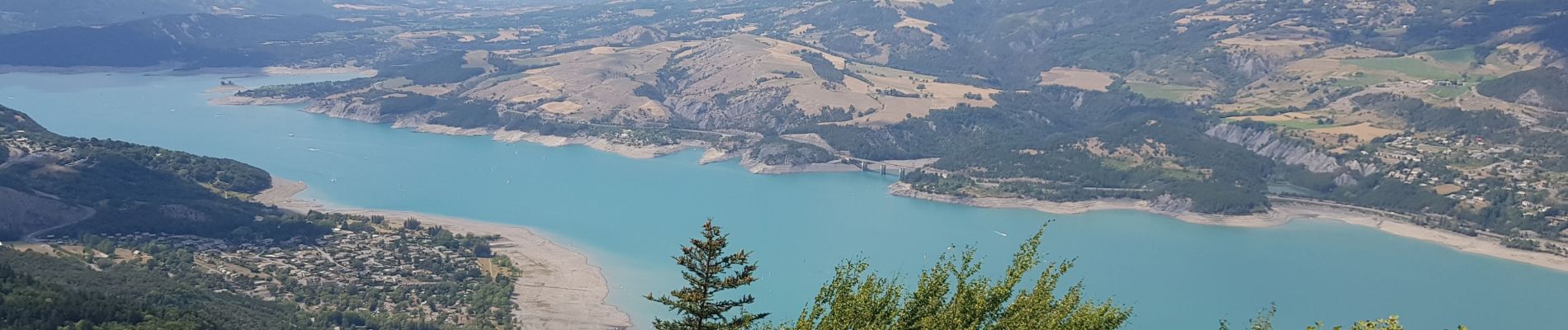
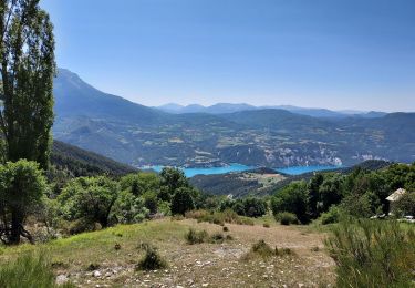
jolie vue a l'arrivée et possibilité de pique nique (tables, bbq en dur)
accès possible en voiture.


Marche

Marche

Marche

Marche

Marche

Marche

Marche

Marche
Marche