


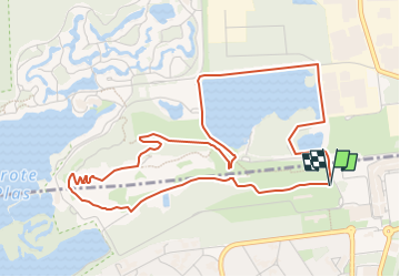

14,2 km | 16,2 km-effort

Utilisateur GUIDE


Application GPS de randonnée GRATUITE
 SityTrail
IGN / Instituts géographiques
SityTrail World
Le monde est à vous
Randonnée Marche de 5,3 km à découvrir à Flandre, Limbourg, Maasmechelen. Cette randonnée est proposée par Benjamin27.
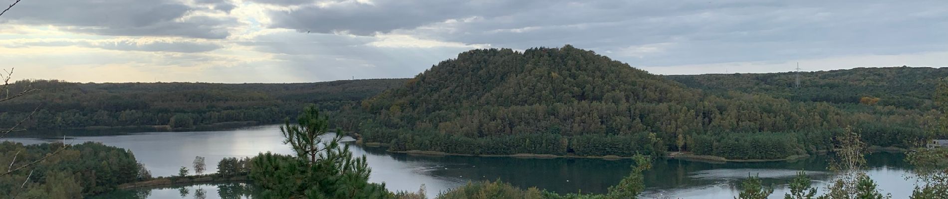
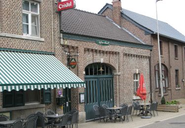
Ancien site d’exploitation minière qui vous emmènera en haut des collines artificielles créées par les miniers. A ne pas manquer!
👣 Distance : 5,4km - balisage losange bleu.
📍Départ : au rond-point de croisement entre Zetellaan et Kolenmijn Limburg-Maaslaan à Maasmechelen, prendre à droite et se garer dans le parking prévu à gauche. Marcher ensuite jusqu’au départ des promenades en s’aidant des indications sur place.
🚂🚍 Aller à la gare de Hasselt et prendre le bus DE LIJN 45 jusqu’à l’arrêt « Eisden - Maasmechelen Village ».


Marche

A pied

A pied
A pied
A pied
A pied
A pied

A pied
A pied