


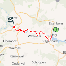


7,3 km | 8,3 km-effort


Utilisateur


Application GPS de randonnée GRATUITE
 SityTrail
IGN / Instituts géographiques
SityTrail World
Le monde est à vous
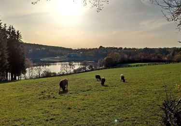
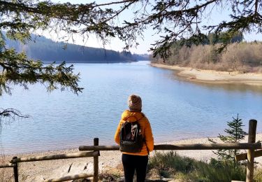
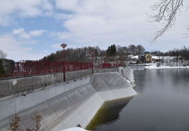
Randonnée Autre activité de 13,4 km à découvrir à Wallonie, Liège, Butgenbach. Cette randonnée est proposée par pierorn.
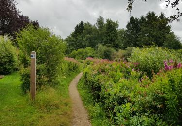
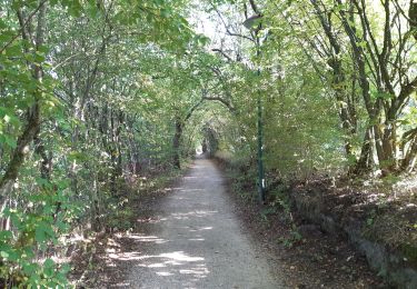
Le sentier est balisé, prévoir de bonne chaussures. Village traverser: Robertville, Outrewarche, Champagne, Weywertz, Nidrum, Butgenbach.

Marche
Marche
Marche
Vélo
Marche
Marche
Marche
Marche

Marche