


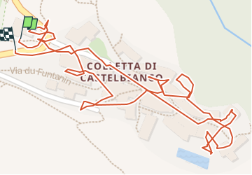

16,2 km | 33 km-effort

Utilisateur


Application GPS de randonnée GRATUITE
 SityTrail
IGN / Instituts géographiques
SityTrail World
Le monde est à vous
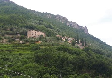
Randonnée Marche de 619 m à découvrir à Ligurie, Savone, Castelbianco. Cette randonnée est proposée par patjobou.
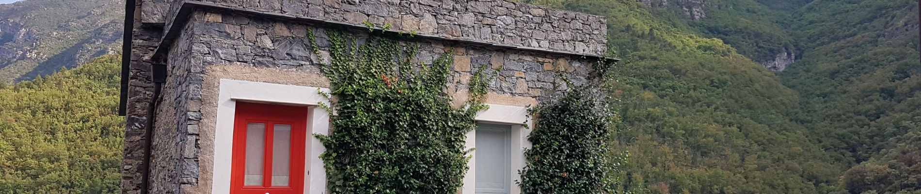
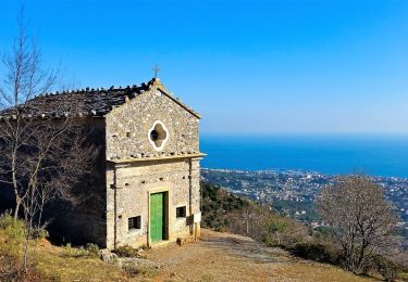
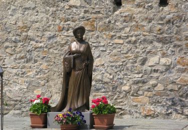
Original, et sympa. Probablement un vieux village en ruine, entièrement restauré dans le but de le revendre à des particuliers comme résidence de vacances et locations. C'est réussi avec en plus une piscine réservée aux habitants. Par contre aucun commerce, sauf un bar !
Tous renseignements sur coletta.it


A pied
A pied
A pied