


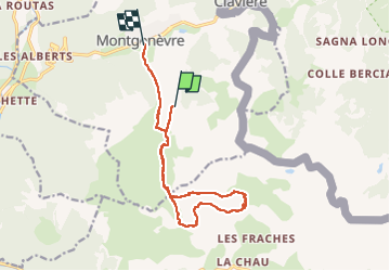

15,4 km | 32 km-effort


Utilisateur


Application GPS de randonnée GRATUITE
 SityTrail
IGN / Instituts géographiques
SityTrail World
Le monde est à vous
Randonnée Marche de 13,5 km à découvrir à Provence-Alpes-Côte d'Azur, Hautes-Alpes, Montgenèvre. Cette randonnée est proposée par lolitrail.
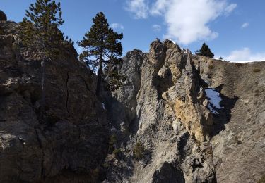
Belle rando sans trop de difficultés. Paysages variés . Plusieurs point d eau pour rafraîchir les chien.nes

Marche

V.T.T.

Marche

Marche
Marche

Marche

Marche

Marche

Marche